Toggle navigation
LMEC Home
Exhibitions
Georeferencing
Tools for Teachers
Collections
My Favorites
Sign Up / Log In
Search
Search the map portal
Map Collection
Map Collection
Map Sets
Search
Search
Search for
Search In
All Fields
Creator
Title
Subject
Place
Search All Digital Collections
Advanced Search
443 Results
My Search
Start Over
virginia
Remove constraint virginia
Filter your Search
Place
North and Central America
431
United States
380
Virginia
233
Maryland
54
West Virginia
42
Middle Atlantic
38
North Carolina
34
York (county)
32
more
Place
»
Topic
Virginia--Maps
48
Virginia--Maps--Early works to 1800
39
Virginia--History--Civil War, 1861-1865--Maps
34
United States--History--Revolution, 1775-1783--Maps
32
United States--History--Civil War, 1861-1865--Maps
27
North America--Maps--Early works to 1800
24
Maryland--Maps
21
West Virginia--Maps
19
more
Topic
»
Date
Date range begin
–
Date range end
Current results range from
1590
to
1995
View distribution
Creator
Jefferys, Thomas, -1771
15
Michler, N. (Nathaniel), 1827-1881
15
Evans, Lewis, 1700?-1756
14
United States. Army. Corps of Engineers
13
Weyss, J. E.
12
New York Lithographing, Engraving and Printing Co.
11
Strasser, J.
11
Theilkuhl, F.
11
more
Creator
»
Format
Maps/Atlases
440
Manuscripts
47
Prints
2
Objects/Artifacts
1
Georeferenced
Yes
48
No
395
Collection
Norman B. Leventhal Map & Education Center Collection
286
American Revolutionary War-Era Maps
181
William L. Clements Library Collection
40
Library of Congress Collection
24
MacLean Collection Map Library
24
Maritime Charts and Atlases
18
David Judkins Weaver Papers
17
Richard H. Brown Revolutionary War Map Collection at Mount Vernon
15
more
Collection
»
Available to use
No known restrictions
283
Creative Commons license
76
Search Constraints
Sort by relevance
relevance
title
date (asc)
date (desc)
Number of results to display per page
20 per page
10
per page
20
per page
50
per page
100
per page
View results as:
grid view
map view
Search Results
261.
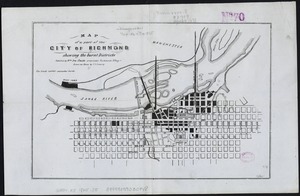
Volunteer militia and eastern army guide : One hundred and fifty miles around Richmond
262.
Grant's campaign war map : supplement : 25 miles around Richmond
263.
Map of a part of the city of Richmond showing the burnt districts
264.
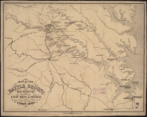
Map of the battle ground near Richmond, showing plainly, every point of interest of the late & present position of the Union army
265.
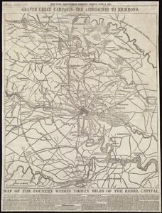
Map of the country within thirty miles of the rebel capital / G. Woolworth Colton, N.Y
266.
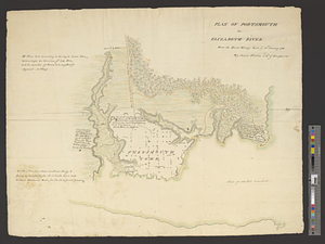
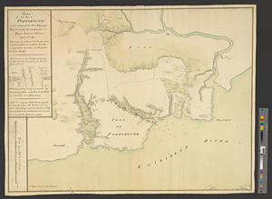
Plan of Portsmouth on Elizabeth River : from an exact survey made ye. 21st January 1781
267.
Plan of the post of Portsmouth as it is occupied by his majesty's forces under the command of Major General Phillips, April...
268.
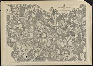
High Bridge and Farmville
269.
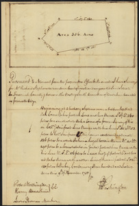
Survey of land for Richard Stephenson in Frederick County; attested by Robert Worthington, Henry Bradshaw and Lewis Thomas : recto
270.
Chancellorville
271.
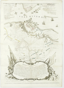
Carte de la Virginie et du Maryland
272.
A map of the country between Will's Creek & Monongahela River shewing the rout and encampments of the English army, in 1755
273.
To His Excellency Genl. Washington, Commander in Chief of the armies of the United States of America : this plan of the...
274.
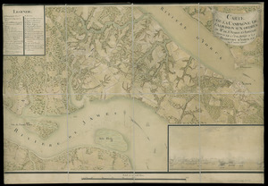
Carte de la campagne de la division aux ordres du Mis. de St. Simon en Virginie depuis le 2 7bre. 1781 jusq-a la reddition...
275.
The Wilderness
276.
A map of the country between Will's Creek & Monongahela River shewing the rout and encampments of the English army in 1755
277.
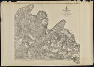
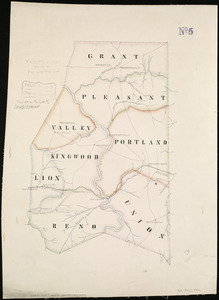
Preston Co., West Va
278.
Taylor Co., West Va
279.
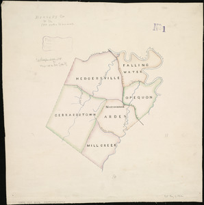
Berkley Co., W. Va
280.
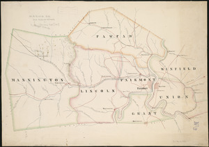
Marion Co
‹ Prev
Next ›
1
2
…
10
11
12
13
14
15
16
17
18
…
22
23