Toggle navigation
LMEC Home
Exhibitions
Georeferencing
Tools for Teachers
Collections
My Favorites
Sign Up / Log In
Search
Search the map portal
Map Collection
Map Collection
Map Sets
Search
Search
Search for
Search In
All Fields
Creator
Title
Subject
Place
Search All Digital Collections
Advanced Search
306 Results
My Search
Start Over
urban atlas
Remove constraint urban atlas
Filter your Search
Place
North and Central America
273
United States
270
Massachusetts
239
Suffolk (county)
114
Boston
112
Middlesex (county)
36
Norfolk (county)
30
Roxbury
21
more
Place
»
Topic
Landowners--Massachusetts--Boston--Maps
80
Real property--Massachusetts--Boston--Maps
71
Boston (Mass.)--Maps
52
Roxbury (Boston, Mass.)--Maps
22
Brookline (Mass.)--Maps
15
Jamaica Plain (Boston, Mass.)--Maps
15
Landowners--Massachusetts--Brookline--Maps
15
Real property--Massachusetts--Brookline--Maps
15
more
Topic
»
Date
Date range begin
–
Date range end
Current results range from
1617
to
2023
View distribution
Creator
Bromley, George Washington
62
Bromley, Walter Scott
60
G.W. Bromley & Co.
39
Geo. H. Walker & Co.
22
Lamb, George
15
G.M. Hopkins & Co.
14
Hopkins, Griffith Morgan, Jr.
14
Beers, F. W. (Frederick W.)
12
more
Creator
»
Format
Maps/Atlases
306
Books
34
Manuscripts
1
Georeferenced
Yes
17
No
289
Collection
Norman B. Leventhal Map & Education Center Collection
304
Urban Maps
300
Boston and New England Maps
241
Mapping Boston Collection
8
American Revolutionary War-Era Maps
7
Boston Redevelopment Authority Collection
6
Applied Geographics, Inc. Records
4
Maritime Charts and Atlases
2
more
Collection
»
Available to use
No known restrictions
282
Creative Commons license
10
Search Constraints
Sort by relevance
relevance
title
date (asc)
date (desc)
Number of results to display per page
20 per page
10
per page
20
per page
50
per page
100
per page
View results as:
grid view
map view
Search Results
261.
Plan of Boston showing existing ways and owners on December 25, 1645
262.
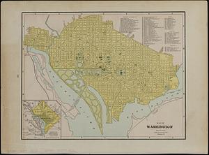
Map of Washington
263.
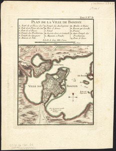
Plan de la ville de Boston
264.
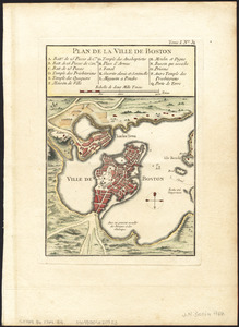
Plan de la ville de Boston
265.
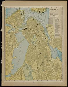
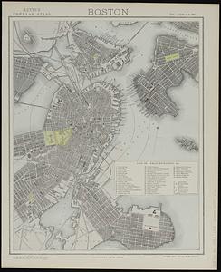
Boston
266.
Boston
267.
East Boston flood risk
268.
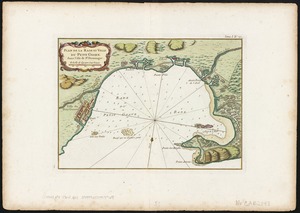
Plan de la Rade et Ville du Petit Goave dans i'Isle de St. Domingue
269.
Plan de la ville de Boston
270.
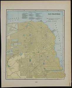
San Francisco ; Mexico
271.
Rand McNally & Co.'s map of the southern portion of New York City ; Rand McNally & Co.'s map of the main portion of Brooklyn
272.
Vorstellung einiger Gegenden und Plaetze in Nord-America unter Franzoesisch und Englische Jurisdiction gehoerig
273.
Johnson's map of New York and the adjacent cities
274.
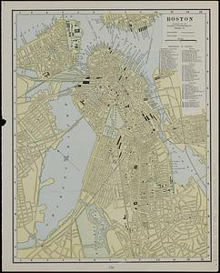
Boston
275.
Sandy-Bay, Mass
276.
Insurance maps of the city of New York
277.
Insurance map of Chicago, 1868-9
278.
Insurance map of Boston : volume 2
279.
Insurance map of Boston : volume 2
280.
Insurance map of Boston : volume 1
‹ Prev
Next ›
1
2
…
10
11
12
13
14
15
16