Toggle navigation
LMEC Home
Exhibitions
Georeferencing
Tools for Teachers
Collections
My Favorites
Sign Up / Log In
Search
Search the map portal
Map Collection
Map Collection
Map Sets
Search
Search
Search for
Search In
All Fields
Creator
Title
Subject
Place
Search All Digital Collections
Advanced Search
355 Results
My Search
Start Over
1888
Remove constraint 1888
Filter your Search
Place
North and Central America
297
United States
186
Massachusetts
102
Canada
45
Boston
27
Suffolk (county)
27
Mexico
25
Rhode Island
15
more
Place
»
Topic
Boston (Mass.)--Maps
16
Landowners--Massachusetts--Boston--Maps
10
Real property--Massachusetts--Boston--Maps
10
Massachusetts--Maps
6
New England--Maps
6
United States--Maps
6
Boston Harbor (Mass.)--Maps
5
Railroads--New England--Maps
5
more
Topic
»
Date
Date range begin
–
Date range end
Current results range from
1774
to
1999
View distribution
Creator
United States. Hydrographic Office
152
Walling, Henry Francis, 1825-1888
97
Klakring, A. (Alfred)
28
Erni, A. (Adolphe)
25
Franke, M. (Max)
17
Ruebsam, E. A. (E. August)
17
Noetzel, G. (Gregor)
15
Wimpffen, L. F. von (Lebreclit Felix von)
14
more
Creator
»
Format
Maps/Atlases
354
Books
1
Manuscripts
1
Prints
1
Georeferenced
Yes
23
No
332
Collection
Norman B. Leventhal Map & Education Center Collection
348
Maritime Charts and Atlases
161
Boston and New England Maps
134
Urban Maps
88
Massachusetts Real Estate Atlases
2
Sidney R. Knafel Map Collection at Phillips Academy
2
American Revolutionary War-Era Maps
1
Library of Congress Collection
1
more
Collection
»
Available to use
No known restrictions
349
Creative Commons license
1
Search Constraints
Sort by relevance
relevance
title
date (asc)
date (desc)
Number of results to display per page
20 per page
10
per page
20
per page
50
per page
100
per page
View results as:
grid view
map view
Search Results
181.
North Pacific Ocean
182.
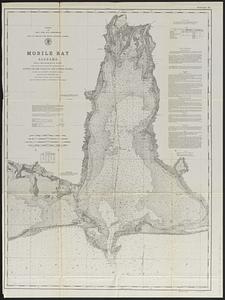
Mobile Bay, Alabama
183.
Map of the Back Bay Fens showing the public ways bordering and crossing them and the neighboring newly laid out parts of...
184.
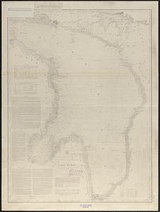
General chart of Lake Huron
185.
Plan showing the principal portion of Boston : from the oldest authorities
186.
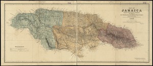
Map of Jamaica : prepared from the best authorities by order of His Excellency Sir Henry Wylie Norman, G.C.B. G.C.M.G., C.I.E.,...
187.
Map of Massachusetts
188.
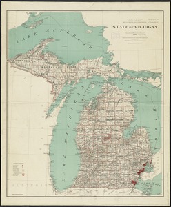
State of Michigan
189.
The State of New Jersey : from original surveys based on the triangulation of the U.S. Coast and Geodetic Survey
190.
Territory of Idaho
191.
Territory of Wyoming
192.
Asiae Minoris antiquae : tabula in usum scholarum descripta
193.
Block Island, Rhode Island
194.
Boston Bay and Harbor
195.
Boston Highlands, Massachusetts : Wards 19, 20, 21 & 22 of Boston
196.
Buctouche, New Brunswick
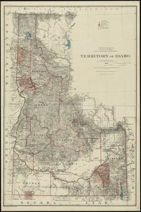
197.
Franklin, Massachusetts
198.
Innocence abroad
199.
Latii veteris et finitarum regionum
200.
Map of Boston : showing freight and passenger depots, grain elevators, steamboat wharves, etc
‹ Prev
Next ›
1
2
…
6
7
8
9
10
11
12
13
14
…
17
18