Toggle navigation
LMEC Home
Exhibitions
Georeferencing
Tools for Teachers
Collections
My Favorites
Sign Up / Log In
Search
Search the map portal
Map Collection
Map Collection
Map Sets
Search
Search
Search for
Search In
All Fields
Creator
Title
Subject
Place
Search All Digital Collections
Advanced Search
987 Results
My Search
Start Over
More Like
commonwealth-oai:v405x789b
Remove constraint More Like: commonwealth-oai:v405x789b
Filter your Search
Place
North and Central America
959
United States
695
Canada
206
New York
194
Quebec
111
Rhode Island
83
Massachusetts
77
Pennsylvania
61
more
Place
»
Topic
United States--History--Revolution, 1775-1783--Maps
330
United States--History--French and Indian War, 1754-1763--Maps
149
Rhode Island--Maps
50
Saint Lawrence River--Maps
43
Massachusetts--Maps
40
Newport (R.I.)--Maps
28
Connecticut--Maps
26
New York (State)--Maps
25
more
Topic
»
Date
Date range begin
–
Date range end
Current results range from
1700
to
1981
View distribution
Creator
Rocque, Mary Ann
29
Holland, Samuel, 1728-1801
25
Jefferys, Thomas, -1771
25
Montrésor, John, 1736-1799
25
Bellin, Jacques Nicolas, 1703-1772
24
Clinton, Henry, Sir, 1738?-1795
19
Robert Sayer and John Bennett (Firm)
16
Hills, John, active 1777-1819
13
more
Creator
»
Format
Maps/Atlases
971
Drawings/Illustrations
11
Documents
5
Manuscripts
4
Objects/Artifacts
1
Prints
1
Georeferenced
Yes
17
No
970
Collection
American Revolutionary War-Era Maps
934
William L. Clements Library Collection
909
Norman B. Leventhal Map & Education Center Collection
56
Boston and New England Maps
43
American Antiquarian Society Collection
9
David Judkins Weaver Papers
4
Newberry Library Collection
3
Urban Maps
3
more
Collection
»
Available to use
No known restrictions
57
Creative Commons license
5
Search Constraints
Sort by relevance
relevance
title
date (asc)
date (desc)
Number of results to display per page
20 per page
10
per page
20
per page
50
per page
100
per page
View results as:
grid view
map view
Search Results
301.
View of Dorchester Neck, from the mess house on Fort Hill
302.
A view of the Great Bridge near Norfolk in Virginia where the action happened between a detachment of the 14th Regt: & a body...
303.
Washingtons position at Morristown 1780 : headquarters at Fords house
304.
West Point
305.
West Point and the Hudson River
306.
West Point and vicinity
307.
West Point; or Fort Defiance
308.
White Plains
309.
Williamsburgh & the slip of land between York & James rivers from thence to Hampton
310.
Yorktown, Virginia, and the surrounding area, ca. 1781
311.
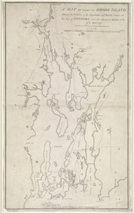
A map of part of Rhode Island shewing the positions of the American and British armies at the Siege of Newport, and the...
312.
Chart of Narraganset Bay : surveyed in 1832
313.
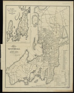
Map of Newport, R.I
314.
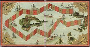
The Newport yacht race : an exciting game
315.
74 miles on the ocean scenic highway U.S. 1
316.
The city of New York as laid out by the Commissioners with the surrounding country
317.
Coast of the United States, from New York to Cape Ann : drawn from the U.S. Coast Surveys
318.
Colton's Massachusetts and Rhode Island
319.
Connecticut with portions of New York & Rhode Island
320.
Explorer's map & directory of the New England Coast : New London, Connecticut, to Passamaquoddy Bay, Canada : a comprehensive...
‹ Prev
Next ›
1
2
…
12
13
14
15
16
17
18
19
20
…
49
50