Toggle navigation
LMEC Home
Exhibitions
Georeferencing
Tools for Teachers
Collections
My Favorites
Sign Up / Log In
Search
Search the map portal
Map Collection
Map Collection
Map Sets
Search
Search
Search for
Search In
All Fields
Creator
Title
Subject
Place
Search All Digital Collections
Advanced Search
944 Results
My Search
Start Over
More Like
commonwealth-oai:r207zn378
Remove constraint More Like: commonwealth-oai:r207zn378
Filter your Search
Place
North and Central America
916
United States
655
Canada
206
New York
198
Quebec
112
Pennsylvania
60
New Jersey
57
Nova Scotia
48
more
Place
»
Topic
United States--History--Revolution, 1775-1783--Maps
330
United States--History--French and Indian War, 1754-1763--Maps
149
Saint Lawrence River--Maps
43
Hudson River (N.Y. and N.J.)--Maps
29
Newport (R.I.)--Maps
27
New York (State)--Maps
26
Québec (Québec)--Maps
21
Louisbourg (N.S.)--Maps
20
more
Topic
»
Date
Date range begin
–
Date range end
Current results range from
1700
to
1912
View distribution
Creator
Rocque, Mary Ann
29
Holland, Samuel, 1728-1801
26
Jefferys, Thomas, -1771
25
Montrésor, John, 1736-1799
25
Bellin, Jacques Nicolas, 1703-1772
24
Clinton, Henry, Sir, 1738?-1795
19
Robert Sayer and John Bennett (Firm)
16
Hills, John, active 1777-1819
13
more
Creator
»
Format
Maps/Atlases
928
Drawings/Illustrations
11
Documents
5
Manuscripts
4
Prints
1
Georeferenced
Yes
2
No
942
Collection
American Revolutionary War-Era Maps
930
William L. Clements Library Collection
909
Norman B. Leventhal Map & Education Center Collection
16
American Antiquarian Society Collection
8
Boston and New England Maps
5
Newberry Library Collection
3
Urban Maps
3
MacLean Collection Map Library
2
more
Collection
»
Available to use
No known restrictions
18
Creative Commons license
4
Search Constraints
Sort by relevance
relevance
title
date (asc)
date (desc)
Number of results to display per page
20 per page
10
per page
20
per page
50
per page
100
per page
View results as:
grid view
map view
Search Results
241.
Providence and Newport
242.
The Rahway River valley, ca. 1780
243.
Region between Westchester Creek and the Bronx River
244.
The road from New Bridge and Hackinsack to Burlington
245.
A rough draught of New Haven fort
246.
Sandy Hook, New Jersey
247.
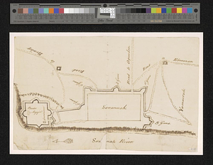
Savannah and its defenses
248.
Savannah River and Savannah Sound
249.
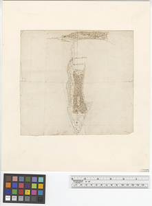
A scetch [sic] of that part of Statten island from the Old Star [Ferry] to Deckers Ferry and the lands lying to the westd. of...
250.
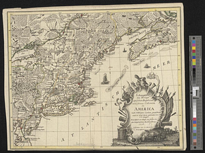
Schauplatz des kriegs zwischen Engelland und seinen collonien in America nach richtigen carten gezeichnet und in diese form...
251.
Seat of war in the environs of Philadelphia
252.
Seconnet Passage
253.
Siège d'York 1781 : carte des environs d'York en Virginie avec les attaques et la position des armées Françoise et Américaine...
254.
Siege of Charleston, South Carolina 1780
255.
Siege of Charlestown 1780
256.
Siege of Yorktown
257.
Situation des posten zu Denyses Ferry auf Long Island wie solcher den 7ten October 1781 von furste : Braunshweig und Hessen...
258.
Situation of ye rebels just before the attack upon Trenton
259.
Sketch from information of the different roads about Freehold in the Jerseys
260.
Sketch from information of the different roads about Freehold in the Jerseys
‹ Prev
Next ›
1
2
…
9
10
11
12
13
14
15
16
17
…
47
48


![A scetch [sic] of that part of Statten island from the Old Star [Ferry] to Deckers Ferry and the lands lying to the westd. of the road leading from Deckers Ferry to the Old Star made from a view of the same by Thomas Millidge major of the 5th battn. of N: J V](https://bpldcassets.blob.core.windows.net/derivatives/metadata/commonwealth-oai:1831hj84z/image_thumbnail_300.jpg)