Toggle navigation
LMEC Home
Exhibitions
Georeferencing
Tools for Teachers
Collections
My Favorites
Sign Up / Log In
Search
Search the map portal
Map Collection
Map Collection
Map Sets
Search
Search
Search for
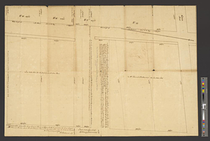
Search In
All Fields
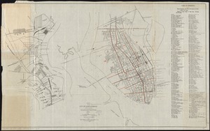
Creator
Title
Subject
Place
Search All Digital Collections
Advanced Search
916 Results
My Search
Start Over
More Like
commonwealth-oai:m326r087h
Remove constraint More Like: commonwealth-oai:m326r087h
Filter your Search
Place
North and Central America
890
United States
630
Canada
205
New York
193
Quebec
111
Pennsylvania
60
New Jersey
54
Nova Scotia
48
more
Place
»
Topic
United States--History--Revolution, 1775-1783--Maps
306
United States--History--French and Indian War, 1754-1763--Maps
149
Saint Lawrence River--Maps
43
Newport (R.I.)--Maps
27
New York (State)--Maps
24
Charleston (S.C.)--Maps
23
Hudson River (N.Y. and N.J.)--Maps
21
Québec (Québec)--Maps
21
more
Topic
»
Date
Date range begin
–
Date range end
Current results range from
1700
to
1919
View distribution
Creator
Rocque, Mary Ann
29
Holland, Samuel, 1728-1801
25
Montrésor, John, 1736-1799
25
Bellin, Jacques Nicolas, 1703-1772
24
Jefferys, Thomas, -1771
24
Clinton, Henry, Sir, 1738?-1795
19
Robert Sayer and John Bennett (Firm)
15
Hills, John, active 1777-1819
13
more
Creator
»
Format
Maps/Atlases
900
Drawings/Illustrations
11
Documents
5
Prints
1
Georeferenced
Yes
1
No
915
Collection
American Revolutionary War-Era Maps
913
William L. Clements Library Collection
909
American Antiquarian Society Collection
3
Norman B. Leventhal Map & Education Center Collection
3
MacLean Collection Map Library
1
Available to use
No known restrictions
3
Search Constraints
Sort by relevance
relevance
title
date (asc)
date (desc)
Number of results to display per page
20 per page
10
per page
20
per page
50
per page
100
per page
View results as:
grid view
map view
Search Results
1.
Charles Town, South Carolina, with a chart of the bars & harbour
2.
Charleston and its approaches from the sea
3.
Charleston and the British attack of June 1776
4.
Disposition of the British forces before Charleston 1780
5.
Distribution & strength of corps 1780
6.
A general map of the southern British colonies in America comprehending North and South Carolina, Georgia, East and West...
7.
Lines of Charleston
8.
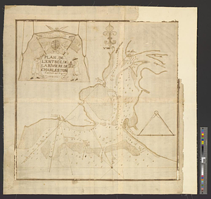
Plan de l'entrée de la rivière de Charleston le 30 Dexbre 1776
9.
Plan of Charleston and its defenses 1780
10.
Plan of Charlestown 1781
11.
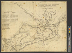
A plan of the military operations against Charlestown, the army being commanded by L.G. Sir Henry Clinton K.B. and the fleet by...
12.
Plan of the scene of action at Charlestown in the province of South Carolina the 28th June 1776
13.
Plan of the seige [sic] of Charlestown in South Carolina
14.
Siege of Charleston, South Carolina 1780
15.
Siege of Charlestown 1780
16.
Survey of the wharf lots lying between Broad and Queen streets, to ascertain the line, between Mr. Samuel Prideau junior & Mr....
17.
E. & G.W. Blunt's map of Charleston and vicinity
18.
Map of Charleston, S.C
19.
Map of the city of Charleston, S.C. and vicinity : with table of reference to principle buildings, points of historical interest
20.
A new chart of America : with the harbors, of Port Royal and Savannah &c
‹ Prev
Next ›
1
2
3
4
5
…
45
46


![Plan of the seige [sic] of Charlestown in South Carolina](https://bpldcassets.blob.core.windows.net/derivatives/metadata/commonwealth-oai:rb692949z/image_thumbnail_300.jpg)