Toggle navigation
LMEC Home
Exhibitions
Georeferencing
Tools for Teachers
Collections
My Favorites
Sign Up / Log In
Search
Search the map portal
Map Collection
Map Collection
Map Sets
Search
Search
Search for
Search In
All Fields
Creator
Title
Subject
Place
Search All Digital Collections
Advanced Search
950 Results
My Search
Start Over
More Like
commonwealth-oai:kp78mc95q
Remove constraint More Like: commonwealth-oai:kp78mc95q
Filter your Search
Place
North and Central America
924
United States
664
New York
232
Canada
205
Quebec
111
Pennsylvania
61
New Jersey
57
Manhattan
51
more
Place
»
Topic
United States--History--Revolution, 1775-1783--Maps
305
United States--History--French and Indian War, 1754-1763--Maps
149
Manhattan (New York, N.Y.)--Maps
51
Saint Lawrence River--Maps
43
New York (N.Y.)--Maps
27
Newport (R.I.)--Maps
27
New York (State)--Maps
24
Hudson River (N.Y. and N.J.)--Maps
21
more
Topic
»
Date
Date range begin
–
Date range end
Current results range from
1700
to
1939
View distribution
Creator
Rocque, Mary Ann
29
Holland, Samuel, 1728-1801
25
Montrésor, John, 1736-1799
25
Bellin, Jacques Nicolas, 1703-1772
24
Jefferys, Thomas, -1771
24
Clinton, Henry, Sir, 1738?-1795
19
Robert Sayer and John Bennett (Firm)
15
Hills, John, active 1777-1819
13
more
Creator
»
Format
Maps/Atlases
934
Drawings/Illustrations
11
Documents
5
Manuscripts
1
Prints
1
Georeferenced
Yes
8
No
942
Collection
American Revolutionary War-Era Maps
911
William L. Clements Library Collection
909
Norman B. Leventhal Map & Education Center Collection
38
Urban Maps
26
New-York Historical Society Collection
2
New York Public Library Collection
1
Available to use
No known restrictions
40
Creative Commons license
1
Search Constraints
Sort by relevance
relevance
title
date (asc)
date (desc)
Number of results to display per page
20 per page
10
per page
20
per page
50
per page
100
per page
View results as:
grid view
map view
Search Results
241.
George Rogers Clark grant, Indiana Territory
242.
George's Island in Halifax harbor, Nova Scotia
243.
Georgia and the Indian land cessions, ca. 1770
244.
Goat Island
245.
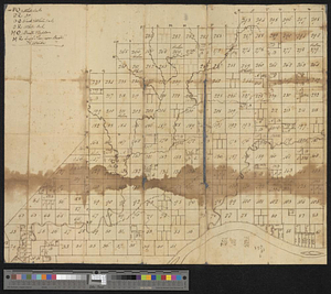
The Great Lakes and the Ohio, ca. 1800
246.
Grund riss de Americanischen insuln Cape Breton, St. Iean und Anticosti im Flusse S. Laurencii
247.
Ein grund-ris von der Festung Duquesne ...
248.
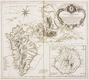
La Guadeloupe : dediée à Mgr. Charles Phillippe d'Albert, duc de Luynes ...
249.
The Gulf coast from the Mississippi Delta to the Bay of St. Joseph
250.
Halifax
251.
The harbour of Halifax
252.
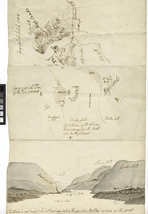
Hare Island; Pointe aux Allouettes of Larks Point; English Bank
253.
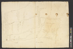
Haverstraw Bay and vicinity
254.
Hudson River from Anthony's Nose to Stony Point
255.
Hudson River from Peekskill to Slaughters Landing
256.
Hudson River from Stony Point to West Point
257.
Hudson River from West Point to Dobbs Ferry
258.
Hudson River highlands at Martelaers Rock
259.
Hudson's River from New York to Albany
260.
Hudson's River from Stony Pt. to Fort Montgomery
‹ Prev
Next ›
1
2
…
9
10
11
12
13
14
15
16
17
…
47
48