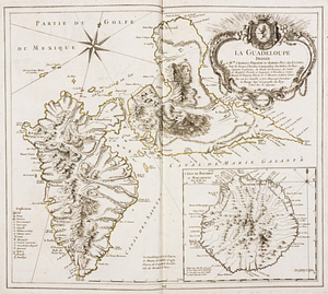
La Guadeloupe : dediée à Mgr. Charles Phillippe d'Albert, duc de Luynes ...
This map is also available in American Revolutionary Geographies Online (ARGO), a collections portal especially built for material relating to the American Revolutionary War Era. Visit ARGO to learn more about this item and explore the historical geography of North America in the late eighteenth century.
Item Information
- Title:
- La Guadeloupe : dediée à Mgr. Charles Phillippe d'Albert, duc de Luynes ...
- Title (alt.):
-
Isle de Bourbon Mascareigne
- Creator:
- Le Rouge, Georges-Louis
- Name on Item:
-
par son très humble et très obeissant serviteur, Le Rouge, ingr. géographe du Roy
- Date:
-
1753
- Format:
-
Maps/Atlases
- Location:
- William L. Clements Library
- Collection (local):
-
William L. Clements Library Collection
- Subjects:
-
Guadeloupe--Maps
Réunion--Maps
- Places:
-
Guadeloupe (territory)
Reunion (territory)
- Extent:
- 1 map ; outline colored ; 49 x 56 cm
- Terms of Use:
-
The University of Michigan Library provides access to these materials for educational and research purposes. These materials may be under copyright. If you decide to use any of these materials, you are responsible for making your own legal assessment and securing any necessary permission. If you have questions about the collection, please contact the William L. Clements Library.
Contact host institution for more information.
- Publisher:
-
A Paris :
Rue des Augustins
- Scale:
-
Scale indeterminable.
- Language:
-
French
- Catalog Record:
-
Catalog record
- Notes:
-
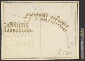
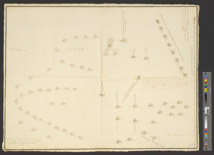
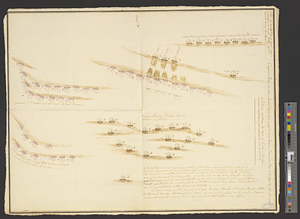
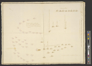
Shows towns, churches, jurisdictions, and existing and ruined forts and castles.
Decorative title cartouche includes heraldic device with lion and crown.
In: Atlas Ameriquain septentrional. ... Paris, 1778. Pl. 26.
- Identifier:
-
803
- Barcode:
-
B6088159