Toggle navigation
LMEC Home
Exhibitions
Georeferencing
Tools for Teachers
Collections
My Favorites
Sign Up / Log In
Search
Search the map portal
Map Collection
Map Collection
Map Sets
Search
Search
Search for
Search In
All Fields
Creator
Title
Subject
Place
Search All Digital Collections
Advanced Search
924 Results
My Search
Start Over
More Like
commonwealth-oai:j3864599s
Remove constraint More Like: commonwealth-oai:j3864599s
Filter your Search
Place
North and Central America
894
United States
636
Canada
209
New York
193
Quebec
112
Pennsylvania
60
New Jersey
54
Nova Scotia
48
more
Place
»
Topic
United States--History--Revolution, 1775-1783--Maps
305
United States--History--French and Indian War, 1754-1763--Maps
162
Saint Lawrence River--Maps
43
Newport (R.I.)--Maps
27
New York (State)--Maps
25
Hudson River (N.Y. and N.J.)--Maps
21
Québec (Québec)--Maps
21
Louisbourg (N.S.)--Maps
20
more
Topic
»
Date
Date range begin
–
Date range end
Current results range from
1700
to
1900
View distribution
Creator
Jefferys, Thomas, -1771
28
Rocque, Mary Ann
28
Holland, Samuel, 1728-1801
25
Montrésor, John, 1736-1799
25
Bellin, Jacques Nicolas, 1703-1772
24
Clinton, Henry, Sir, 1738?-1795
19
Robert Sayer and John Bennett (Firm)
15
Orme, Robert, -1781
14
more
Creator
»
Format
Maps/Atlases
908
Drawings/Illustrations
11
Documents
5
Prints
1
Georeferenced
No
924
Collection
American Revolutionary War-Era Maps
922
William L. Clements Library Collection
909
Norman B. Leventhal Map & Education Center Collection
6
Richard H. Brown Revolutionary War Map Collection at Mount Vernon
4
Maps from AAS
3
MacLean Collection Map Library
1
Maritime Charts and Atlases
1
New-York Historical Society Collection
1
Available to use
No known restrictions
7
Creative Commons license
4
Search Constraints
Sort by relevance
relevance
title
date (asc)
date (desc)
Number of results to display per page
20 per page
10
per page
20
per page
50
per page
100
per page
View results as:
grid view
map view
Search Results
281.
The Delancey lands on Manhattan Island
282.
Delaware Bay and Chesapeake Bay
283.
Delaware Bay and Chesapeake Bay
284.
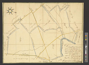
Discription [sic] of the roads about White Plains
285.
Disposition of the British forces before Charleston 1780
286.
Disposition of the British forces on Long Island, Staten Island, and Manhattan Island, under Cornwallis and Knyphausen
287.
Distances North River
288.
Distribution & strength of corps 1780
289.
The district of Main from the latest surveys
290.
A draft of the Nerernanset shore from the entrance to the mouth of Potewomet River northward and from the Nererganset Bay to...
291.
A draft of the Ohio from an Indian account
292.
Draught of a tract of land situate in Bucks County, in the Commonwealth of Pennsylvania divided in three parts, called...
293.
A draught of Massiac Lake, Maurepas, part of the river Amitt and the river Ibberville : copy from Lieut Ph: Pittman
294.
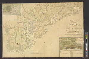
Draught of part of the province of South Carolina shewing the march & encampments of the British troops under the command of...
295.
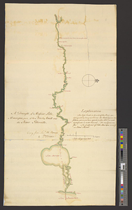
A draught of Rhode Island, 1777
296.
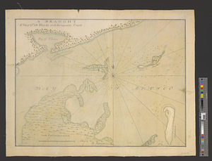
A draught of Ship & Catt islands and the opposite coast
297.
A draught of the barr off Mobile & Dauphine Island
298.
A draught of the bay of Pansacola
299.
A draught of the harbor & river of Piscataqua with the Island's of Shoal's
300.
A draught of the harbor & river of Piscataqua with the Island's of Shoal's
‹ Prev
Next ›
1
2
…
11
12
13
14
15
16
17
18
19
…
46
47


![Discription [sic] of the roads about White Plains](https://bpldcassets.blob.core.windows.net/derivatives/metadata/commonwealth-oai:w3767301r/image_thumbnail_300.jpg)