Toggle navigation
LMEC Home
Exhibitions
Georeferencing
Tools for Teachers
Collections
My Favorites
Sign Up / Log In
Search
Search the map portal
Map Collection
Map Collection
Map Sets
Search
Search
Search for
Search In
All Fields
Creator
Title
Subject
Place
Search All Digital Collections
Advanced Search
1652 Results
My Search
Start Over
More Like
commonwealth-oai:hm50zr247
Remove constraint More Like: commonwealth-oai:hm50zr247
Filter your Search
Place
North and Central America
1,625
United States
1,363
Suffolk (county)
755
Boston
748
Massachusetts
664
Canada
205
New York
195
Quebec
111
more
Place
»
Topic
Boston (Mass.)--Maps
752
United States--History--Revolution, 1775-1783--Maps
307
United States--History--French and Indian War, 1754-1763--Maps
149
City planning--Massachusetts--Boston--Maps
104
Real property--Massachusetts--Boston--Maps
99
Landowners--Massachusetts--Boston--Maps
74
Urban renewal--Massachusetts--Boston--Maps
63
Massachusetts--Maps
54
more
Topic
»
Date
Date range begin
–
Date range end
Current results range from
1700
to
2023
View distribution
Creator
Boston Redevelopment Authority
114
Rocque, Mary Ann
29
Geo. H. Walker & Co
27
Holland, Samuel, 1728-1801
25
Montrésor, John, 1736-1799
25
Bellin, Jacques Nicolas, 1703-1772
24
Jefferys, Thomas, -1771
24
Boynton, George W., d. 1884
21
more
Creator
»
Format
Maps/Atlases
1,636
Drawings/Illustrations
11
Manuscripts
9
Documents
5
Prints
1
Georeferenced
Yes
96
No
1,556
Collection
American Revolutionary War-Era Maps
924
William L. Clements Library Collection
909
Norman B. Leventhal Map & Education Center Collection
615
Boston and New England Maps
579
Urban Maps
490
Boston Redevelopment Authority Collection
120
Mapping Boston Collection
20
Massachusetts Real Estate Atlases
12
more
Collection
»
Available to use
No known restrictions
686
Creative Commons license
34
Search Constraints
Sort by relevance
relevance
title
date (asc)
date (desc)
Number of results to display per page
20 per page
10
per page
20
per page
50
per page
100
per page
View results as:
grid view
map view
Search Results
961.
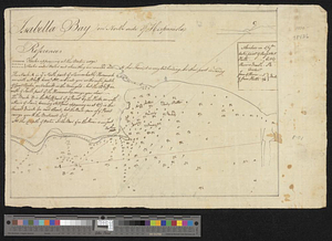
Isabella Bay on North side of Hispaniola
962.
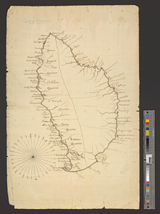
Island of Dominica
963.
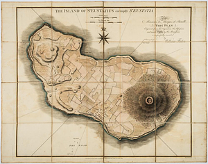
The island of St Eustatius corruptly St Eustatia : to Monsieur le Marquie de Bouillé this plan engraved from the original in...
964.
Isle de Newyork : reconnaissance des ouvrages du nord de lisle de Newyork faite en presence des Généraux, Wasington et...
965.
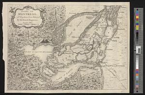
The isles of Montreal, as they have been survey'd by the French engineers
966.
Jamaica Is. in the above scheme is represented the fixing sundry parcels of land situate between the Rio Mino and the Thomas's...
967.
Jamaica Is; Middlesex : the above diagram shows the fixing of sundry plats of land on Teak Savanna Mountains, in the parish of...
968.
The Johnans. Turner farm
969.
Kentucky
970.
Kings Bridge
971.
Les lacs du Canada et Nouvelle Angleterre
972.
Lake Champlain
973.
Lake Megantic and the Chaudière River : Québec July 25th, 1761
974.
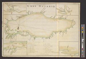
Lake Ontario
975.
Land holdings on Kip's Bay, Manhattan Island
976.
Lands of the town of Reading as proposd by the bill of incorporation 1780
977.
Lands west of the Mississippi, 1750
978.
Lent's Creek and Baillies Creek
979.
Lines of Charleston
980.
Long Island
‹ Prev
Next ›
1
2
…
45
46
47
48
49
50
51
52
53
…
82
83