Toggle navigation
LMEC Home
Exhibitions
Georeferencing
Tools for Teachers
Collections
My Favorites
Sign Up / Log In
Search
Search the map portal
Map Collection
Map Collection
Map Sets
Search
Search
Search for
Search In
All Fields
Creator
Title
Subject
Place
Search All Digital Collections
Advanced Search
1007 Results
My Search
Start Over
More Like
commonwealth-oai:2b88vb28r
Remove constraint More Like: commonwealth-oai:2b88vb28r
Filter your Search
Place
North and Central America
977
United States
709
Canada
209
New York
200
Quebec
112
Pennsylvania
90
Virginia
73
New Jersey
62
more
Place
»
Topic
United States--History--Revolution, 1775-1783--Maps
306
United States--History--French and Indian War, 1754-1763--Maps
162
Pennsylvania--Maps
50
Virginia--Maps
47
Saint Lawrence River--Maps
43
Maryland--Maps
37
New York (State)--Maps
33
Newport (R.I.)--Maps
27
more
Topic
»
Date
Date range begin
–
Date range end
Current results range from
1700
to
1931
View distribution
Creator
Rocque, Mary Ann
29
Jefferys, Thomas, -1771
27
Bellin, Jacques Nicolas, 1703-1772
26
Holland, Samuel, 1728-1801
25
Montrésor, John, 1736-1799
25
Clinton, Henry, Sir, 1738?-1795
19
Robert Sayer and John Bennett (Firm)
15
Hills, John, active 1777-1819
13
more
Creator
»
Format
Maps/Atlases
991
Drawings/Illustrations
11
Documents
5
Manuscripts
1
Prints
1
Georeferenced
Yes
28
No
979
Collection
American Revolutionary War-Era Maps
939
William L. Clements Library Collection
909
Norman B. Leventhal Map & Education Center Collection
76
American Antiquarian Society Collection
14
Richard H. Brown Revolutionary War Map Collection at Mount Vernon
4
MacLean Collection Map Library
3
Urban Maps
2
New-York Historical Society Collection
1
Available to use
No known restrictions
77
Creative Commons license
4
Search Constraints
Sort by relevance
relevance
title
date (asc)
date (desc)
Number of results to display per page
20 per page
10
per page
20
per page
50
per page
100
per page
View results as:
grid view
map view
Search Results
541.
Narragansett Bay and Rhode Island
542.
Narragansett Bay and the surrounding shores
543.
Neu und verbesseter plan der st. u. hafens Havanah auf der ins. Cvba mit den wasser tiefen, sand, baencken und klippen...
544.
A new & accurate chart of the western or Atlantic Ocean : drawn from the most approved modern map &c.
545.
A new and accurate chart of the harbour of Boston, in New England, in North America
546.
A new and accurate map of Connecticut and Rhode Island from the best authorities
547.
A new and accurate map of New Jersey, from the best authorities
548.
A new and accurate map of North America laid down according to the latest and most approved observations, and discoveries
549.
A new and accurate map of the island of Antigua or Antego, taken from surveys and adjusted by astronl. observations, containing...
550.
A new and accurate map of the province of Nova Scotia, in North America; from the latest observations
551.
A new and correct map of the American islands, now called the West Indies, with the whole coast of the neighbouring continent
552.
A new and correct plan of the town of Boston
553.
A new map of Canada, also the north parts of New England and New York; with Nova Scotia and Newfound Land
554.
A new map of North America from the latest discoveries 1761
555.
A new map of North America from the latest discoveries 1763
556.
A new map of the British dominions in North America with the limits of the governments annexed thereto by the late treaty of...
557.
A new map of the British empire in Nth. America, drawn from the latest authorities
558.
A new map of the Cherokee nation with the names of the towns & rivers : they are situated on no. lat. from 34 to 36
559.
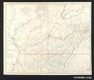
A new map of the western parts of Virginia, Pennsylvania, Maryland and North Carolina; comprehending the river Ohio, and all...
560.
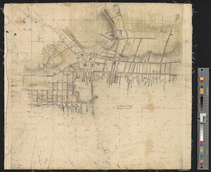
New Port
‹ Prev
Next ›
1
2
…
24
25
26
27
28
29
30
31
32
…
50
51