Toggle navigation
LMEC Home
Exhibitions
Georeferencing
Tools for Teachers
Collections
My Favorites
Sign Up / Log In
Search
Search the map portal
Map Collection
Map Collection
Map Sets
Search
Search
Search for
Search In
All Fields
Creator
Title
Subject
Place
Search All Digital Collections
Advanced Search
925 Results
My Search
Start Over
More Like
commonwealth-oai:0v83cx594
Remove constraint More Like: commonwealth-oai:0v83cx594
Filter your Search
Place
North and Central America
899
United States
638
Canada
205
New York
192
Quebec
111
Pennsylvania
60
New Jersey
54
Nova Scotia
48
more
Place
»
Topic
United States--History--Revolution, 1775-1783--Maps
305
United States--History--French and Indian War, 1754-1763--Maps
149
Saint Lawrence River--Maps
43
Newport (R.I.)--Maps
27
New York (State)--Maps
24
Hudson River (N.Y. and N.J.)--Maps
21
Québec (Québec)--Maps
21
Louisbourg (N.S.)--Maps
20
more
Topic
»
Date
Date range begin
–
Date range end
Current results range from
1700
to
1922
View distribution
Creator
Rocque, Mary Ann
29
Holland, Samuel, 1728-1801
25
Montrésor, John, 1736-1799
25
Bellin, Jacques Nicolas, 1703-1772
24
Jefferys, Thomas, -1771
24
Clinton, Henry, Sir, 1738?-1795
19
Robert Sayer and John Bennett (Firm)
15
Hills, John, active 1777-1819
13
more
Creator
»
Format
Maps/Atlases
909
Drawings/Illustrations
11
Documents
5
Prints
1
Georeferenced
Yes
2
No
923
Collection
American Revolutionary War-Era Maps
909
William L. Clements Library Collection
909
Norman B. Leventhal Map & Education Center Collection
16
Maritime Charts and Atlases
2
Available to use
No known restrictions
16
Search Constraints
Sort by relevance
relevance
title
date (asc)
date (desc)
Number of results to display per page
20 per page
10
per page
20
per page
50
per page
100
per page
View results as:
grid view
map view
Search Results
1.
North America, Pacific coast of Mexico and Central America, San Blas to Panama : compiled from the latest British and United...
2.
North America, Pacific coast of the United States and Mexico, San Francisco to San Blas : compiled from the latest United...
3.
Fault map of the state of California
4.
Geographical, topographical, state highway and railroad map of California
5.
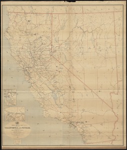
Map of California and Nevada
6.
Map of California and Nevada
7.
Map of California and Nevada, with parts of Utah & Arizona
8.
Map of North America
9.
Map of rail & stage route to Big Tree Groves and Yosemite
10.
Map of San Francisco & San Joaquin Valley Ry. and Atchison lines in California
11.
Post route map of the states of California and Nevada showing post offices with the intermediate distances on mail routes in...
12.
Post route map of the states of California and Nevada with adjacent parts of Oregon, Idaho, Utah, Arizona and of the Republic...
13.
Rand, McNally & Co.'s California
14.
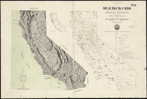
Relief and mineral map of California showing the topography and the approximate locations of all the principal mineral deposits...
15.
State of California
16.
The unique map of California
17.
15 lots of 440a each in Great Lot no. 4 of Macomb purchase : 6600 acres within 2 miles of the St. Lawrence Turnpike & 1/2 mile...
18.
The above is a connection of the three surveys which I have been able to make on Peters Creek, of yours to gether with John...
19.
An accurate map of Canada, with the adjacent countries; exhibiting the late seat of war between the English & French in those...
20.
An accurate map of New York in North America from a late survey
‹ Prev
Next ›
1
2
3
4
5
…
46
47