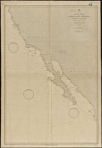
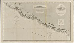
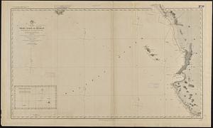
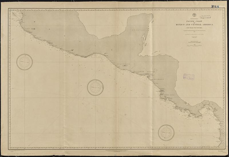
North America, Pacific coast of Mexico and Central America, San Blas to Panama : compiled from the latest British and United States surveys 1887
Item Information
- Title:
- North America, Pacific coast of Mexico and Central America, San Blas to Panama : compiled from the latest British and United States surveys 1887
- Issuing body:
- United States. Hydrographic Office
- Draftsman:
- Bolles, C. P. (Charles P.)
- Engraver:
- Dougal, W. M. (William M.)
- Engraver:
- Ruebsam, A. C. (Adolph C.)
- Name on Item:
-
drawn by C.P. Bolles ; engraved by W.M. Dougal and A.C. Ruebsam
- Date:
-
1889
- Format:
-
Maps/Atlases
- Genre:
-
Nautical charts
- Location:
-
Boston Public Library
Norman B. Leventhal Map & Education Center - Collection (local):
-
Norman B. Leventhal Map & Education Center Collection
- Subjects:
-
Pacific Coast (North America)--Maps
Pacific Coast (Mexico)--Maps
Pacific Coast (Central America)--Maps
Nautical charts--Pacific Coast (North America)
Nautical charts--Mexico--Pacific Coast
Nautical charts--Pacific Coast (Central America)
- Places:
-
North and Central America
- Extent:
- 1 map ; 73 x 113 cm
- Terms of Use:
-
No known copyright restrictions.
No known restrictions on use.
- Publisher:
-
Washington, D.C. :
Hydrographic Office
- Edition:
- Edition of January 1889
- Scale:
-
Scale approximately 1:3,000,000
- Language:
-
English
- Notes:
-
Relief shown by hachures. Depths shown by soundings and isolines.
- Identifier:
-
06_01_015687
- Call #:
-
G9096.P5 svar .U55 no. 1007
- Barcode:
-
39999085939278