Toggle navigation
LMEC Home
Exhibitions
Georeferencing
Tools for Teachers
Collections
My Favorites
Sign Up / Log In
Search
Search the map portal
Map Collection
Map Collection
Map Sets
Search
Search
Search for
Search In
All Fields
Creator
Title
Subject
Place
Search All Digital Collections
Advanced Search
37 Results
My Search
Start Over
More Like
commonwealth:z603vp08f
Remove constraint More Like: commonwealth:z603vp08f
Filter your Search
Place
North and Central America
30
Maryland
18
Virginia
15
North America
8
Delaware
6
Pennsylvania
6
United States
5
New Jersey
4
more
Place
»
Topic
Maryland--Maps--Early works to 1800
19
Virginia--Maps--Early works to 1800
15
Delaware--Maps--Early works to 1800
6
Pennsylvania--Maps--Early works to 1800
6
North America--Maps--Early works to 1800
5
New Jersey--Maps--Early works to 1800
4
Middle Atlantic States--Maps--Early works to 1800
3
New Jersey--Administrative and political divisions--Maps--Early works to 1800
3
more
Topic
»
Date
Date range begin
–
Date range end
Current results range from
1638
to
1799
View distribution
Creator
Jefferys, Thomas, -1771
5
Sayer, Robert, 1725-1794
5
Jefferson, Peter, 1708-1757
3
Cóvens et Mortier
2
Fry, Joshua, approximately 1700-1754
2
Hinton, John, -1781
2
Orme, Robert, -1781
2
Seale, Richard William
2
more
Creator
»
Format
Maps/Atlases
37
Manuscripts
1
Georeferenced
Yes
2
No
35
Collection
American Revolutionary War-Era Maps
30
New York Public Library Collection
20
Norman B. Leventhal Map Center Collection
13
Richard H. Brown Revolutionary War Map Collection at Mount Vernon
3
British Library Collection
1
Maritime Charts and Atlases
1
Available to use
Creative Commons license
24
No known restrictions
13
Search Constraints
Sort by title
relevance
title
date (asc)
date (desc)
Number of results to display per page
20 per page
10
per page
20
per page
50
per page
100
per page
View results as:
grid view
map view
Search Results
1.
[A map of part of Pennsylvania & Maryland intended to shew, at one view, the several places proposed for opening a...
2.
An accurate map of the British Empire in Nth. America as settled by the preliminaries in 1762
3.
L'Amérique septentrionale
4.
Amérique Septentrionale publiée sous les auspices de Monseigneur le Duc d'Orleans prémier prince du sang
5.
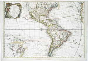
Carte d'Amerique : divisée en ses principaux etats avec les nouvelles decouvertes faites au Nord et dans la Mer du Sud par les...
6.
Carte de la Louisiane et des pays voisins : dédiée à M. Rouillé, sécretaire d'État, ayant le Département de la marine
7.
Carte de la Louisiane et du cours du Mississipi avec les colonies anglaises
8.
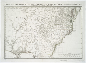
Carte de la Louisiane, Maryland, Virginie, Caroline, Georgie, avec une partie de la Floride
9.
Carte de la Virginie, du Maryland et de l'etat de Delaware
10.
Carte de la Virginie et du Maryland
11.
A draught of Virginia from the Capes to York in York River and to Kuiquotan or Hamton in James River
12.
A map of the country between Will's Creek & Monongahela River shewing the rout and encampments of the English army in 1755
13.
A map of the country between Will's Creek & Monongahela River shewing the rout and encampments of the English army in 1755
14.
A map of the most inhabited part of Virginia containing the whole province of Maryland : with part of Pensilvania, New Jersey...
15.
A map of the most inhabited part of Virginia containing the whole province of Maryland with part of Pensilvania, New Jersey and...
16.
A map of the most inhabited part of Virginia containing the whole province of Maryland with part of Pensilvania, New Jersey and...
17.
A map of Virginia and Maryland
18.
Mappa geographica Provinciæ Nova Eboraci ab Anglis New-York : dictæ ex ampliori delineatione ad exactas dimensiones concinnata...
19.
A new and accurate map of New Jersey, Pensilvania, New York and New England : with the adjacent countries. Drawn from surveys,...
20.
A new and accurate map of North America : laid down according to the latest, and most approved observations and discoveries
‹ Prev
Next ›
1
2
![[A map of part of Pennsylvania & Maryland intended to shew, at one view, the several places proposed for opening a communication between the waters of the Delaware & Chesopeak Bays]](https://bpldcassets.blob.core.windows.net/derivatives/images/commonwealth:z603vt12v/image_thumbnail_300.jpg)