Search Constraints
Search Results

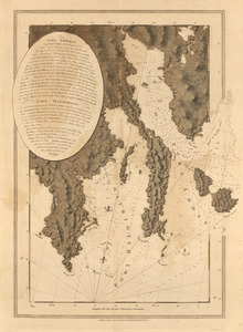
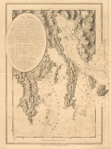
270. Port Campbell
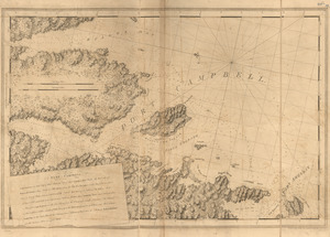
271. Port Campbell
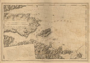
272. Port Campbell
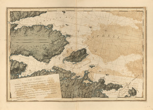
273. Port Campbell
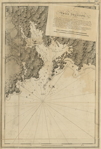
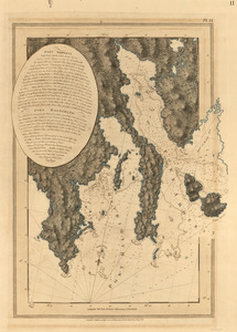
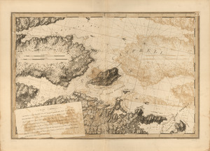
274. Port Jackson
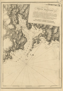
275. Port Jackson
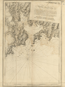
276. Port Jackson
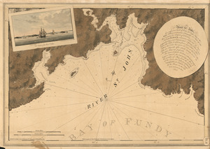
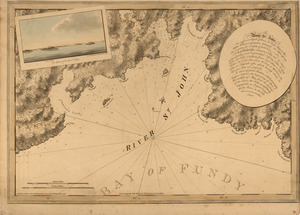
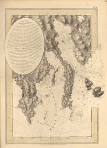
277. The river St. John
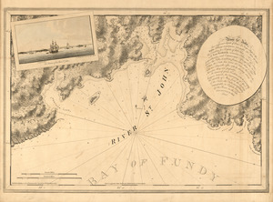
278. The river St. John
![[River St. John]](https://bpldcassets.blob.core.windows.net/derivatives/images/commonwealth:dz010t93f/image_thumbnail_300.jpg)
279. [River St. John]