Search Constraints
Search Results

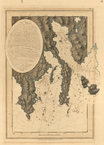
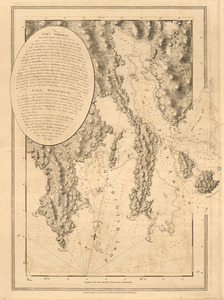
108. Port Campbell
109. Port Campbell
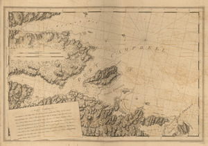
110. Port Campbell
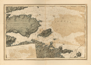
111. Port Campbell
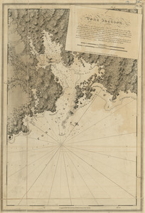
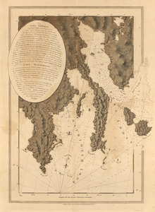
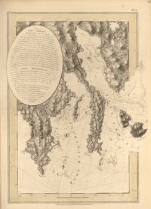
112. Port Jackson
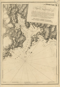
113. Port Jackson
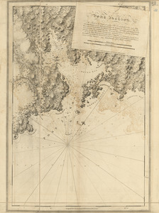
114. Port Jackson
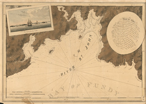
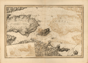
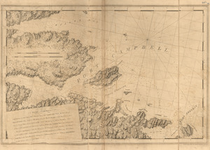
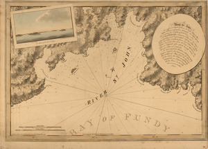
115. The river St. John
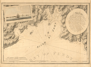
116. The river St. John
![[River St. John]](https://bpldcassets.blob.core.windows.net/derivatives/images/commonwealth:dz010t93f/image_thumbnail_300.jpg)
117. [River St. John]
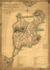
![[Rough draft of Charlestown, in water colour]](https://bpldcassets.blob.core.windows.net/derivatives/images/commonwealth:z603vj49v/image_thumbnail_300.jpg)
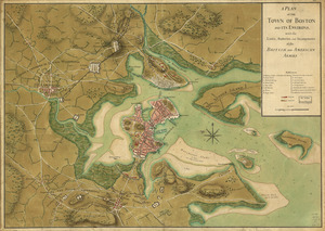
![[Rough draught of Boston and harbour]](https://bpldcassets.blob.core.windows.net/derivatives/images/commonwealth:z603vj39m/image_thumbnail_300.jpg)