Toggle navigation
LMEC Home
Exhibitions
Georeferencing
Tools for Teachers
Collections
My Favorites
Sign Up / Log In
Search
Search the map portal
Map Collection
Map Collection
Map Sets
Search
Search
Search for
Search In
All Fields
Creator
Title
Subject
Place
Search All Digital Collections
Advanced Search
376 Results
My Search
Start Over
More Like
commonwealth:z603vh359
Remove constraint More Like: commonwealth:z603vh359
Filter your Search
Place
North and Central America
340
Massachusetts
169
United States
159
Suffolk (county)
53
Boston
52
Rhode Island
32
Connecticut
23
Canada
22
more
Place
»
Topic
Massachusetts--Maps
218
Boston (Mass.)--Maps
54
Rhode Island--Maps
32
Railroads--Massachusetts--Maps
31
Connecticut--Maps
23
New England--Maps
21
United States--Maps
21
Roads--Massachusetts--Maps
19
more
Topic
»
Date
Date range begin
–
Date range end
Current results range from
1750
to
2020
View distribution
Creator
Geo. H. Walker & Co
18
Reid, John, 1764?-1828
12
Carleton, Osgood, 1742-1816
11
MassGIS (Office : Mass.)
10
Massachusetts. Executive Office of Environmental Affairs
10
Boston Public Library. Norman B. Leventhal Map and Education Center
9
Farwell, John Whittemore, 1843-1929
9
Kitchin, Thomas, 1718-1784
9
more
Creator
»
Format
Maps/Atlases
374
Manuscripts
12
Books
4
Ephemera
1
Prints
1
Georeferenced
Yes
75
No
301
Collection
Norman B. Leventhal Map Center Collection
207
Boston and New England Maps
171
American Revolutionary War-Era Maps
152
American Antiquarian Society Collection
138
Urban Maps
19
David Judkins Weaver Papers
18
Massachusetts Real Estate Atlases
8
Sidney R. Knafel Map Collection at Phillips Academy
8
more
Collection
»
Available to use
No known restrictions
199
Creative Commons license
13
Search Constraints
Sort by relevance
relevance
title
date (asc)
date (desc)
Number of results to display per page
20 per page
10
per page
20
per page
50
per page
100
per page
View results as:
grid view
map view
Search Results
1.
Province of the Massachusetts Bay & pursuant to an order made by the great & Genl. Court of the province June 11th 1762 : to me...
2.
Atlas of Massachusetts
3.
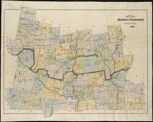
New map of Hampden & Hampshire counties : 1884
4.
Map of the commonwealth of Massachusetts exclusive of the district of Maine : compiled pursuant to an act of the General Court...
5.
A Map of the seat of the late war at Boston in the state of Massachusetts
6.
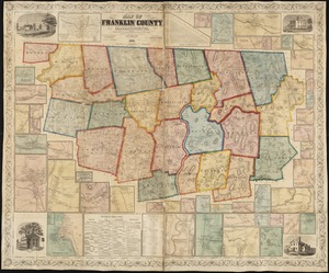
Atlas of Franklin Co., Massachusetts : from actual surveys
7.
Atlas of Franklin Co. Massachusetts : from actual surveys
8.
Map of Franklin County, Massachusetts : based upon the trigonometrical survey of the state
9.
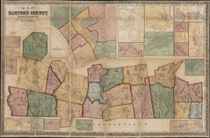
Atlas of Hampden Co., Massachusetts : from actual surveys
10.
Map of Hampden County, Massachusetts : based upon the trigonometrical survey of the state
11.
New topographical atlas of the county of Hampden, Massachusetts
12.
New topographical atlas of the county of Hampden, Massachusetts : containing thirty-three double page maps, in colors, of the...
13.
Richards standard atlas of Hampden County, Massachusetts : based upon, and carefully compiled from, the official plans, surveys...
14.
Richards standard atlas of Hampden County, Massachusetts
15.
Atlas of Berkshire County, Massachusetts
16.
Atlas of Berkshire County, Massachusetts
17.
County atlas of Berkshire Massachusetts
18.
County atlas of Hampshire, Massachusetts
19.
County atlas of Hampshire, Massachusetts : from actual surveys
20.
[Map of Berkshire County]
‹ Prev
Next ›
1
2
3
4
5
…
18
19


![[Map of Berkshire County]](https://bpldcassets.blob.core.windows.net/derivatives/images/commonwealth:wd376641h/image_thumbnail_300.jpg)