Toggle navigation
LMEC Home
Exhibitions
Georeferencing
Tools for Teachers
Collections
My Favorites
Sign Up / Log In
Search
Search the map portal
Map Collection
Map Collection
Map Sets
Search
Search
Search for
Search In
All Fields
Creator
Title
Subject
Place
Search All Digital Collections
Advanced Search
163 Results
My Search
Start Over
More Like
commonwealth:z603vg64j
Remove constraint More Like: commonwealth:z603vg64j
Filter your Search
Place
North and Central America
125
United States
52
North Carolina
26
Canada
22
North America
17
West Indies
17
South Carolina
13
Boston
10
more
Place
»
Topic
North Carolina--Maps
29
United States--Maps
20
North America--Maps
17
West Indies--Maps
17
Canada--Maps
14
South Carolina--Maps
13
Boston (Mass.)--Maps
9
New England--Maps
9
more
Topic
»
Date
Date range begin
–
Date range end
Current results range from
1750
to
1919
View distribution
Creator
Reid, John, 1764?-1828
10
Bellin, Jacques Nicolas, 1703-1772
9
Farwell, John Whittemore, 1843-1929
9
Kitchin, Thomas, 1718-1784
8
Carleton, Osgood, 1742-1816
6
Anderson, Alexander, 1775-1870
5
Gibson, J. (John), active 1750-1792
5
Jefferys, Thomas, -1771
5
more
Creator
»
Format
Maps/Atlases
163
Manuscripts
12
Georeferenced
Yes
13
No
150
Collection
American Revolutionary War-Era Maps
142
American Antiquarian Society Collection
138
Norman B. Leventhal Map Center Collection
21
William L. Clements Library Collection
4
Boston and New England Maps
1
Maritime Charts and Atlases
1
Available to use
No known restrictions
21
Creative Commons license
1
Search Constraints
Sort by relevance
relevance
title
date (asc)
date (desc)
Number of results to display per page
20 per page
10
per page
20
per page
50
per page
100
per page
View results as:
grid view
map view
Search Results
1.
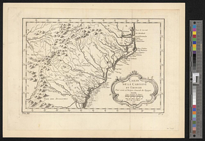
Carte de la Caroline et Georgie. : Pour servir à l'Histoire générale des voyages
2.
Carte de la Caroline et Georgie. : Pour servir à l'Histoire générale des voyages
3.
A new & accurate map of the provinces of North & South Carolina Georgia &c
4.
North Carolina form the best authorities. 1800
5.
Carte de la Caroline at Georgie pour servir à l'histoire générale des voyages : tirée des auteurs Anglois
6.
Coast of North Carolina & Virginia
7.
Colton's new topographical map of the eastern portion of the State of North Carolina with part of Virginia & South Carolina...
8.
Colton's new topographical map of the eastern portion of the State of North Carolina with part of Virginia & South Carolina...
9.
Colton's North Carolina
10.
J.H. Colton's topographical map of North and South Carolina : a large portion of Georgia & part of adjoining states
11.
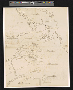
Manuscript maps of U.S. states
12.
Manuscript maps of U.S. states, possibly drawn by a schoolchild
13.
Map of North Carolina
14.
Map of North Carolina
15.
Middle Virginia and North Carolina
16.
Mountain region of North Carolina and Tennessee
17.
Mountain region of North Carolina and Tennessee
18.
Mountain region of North Carolina and Tennessee
19.
Mr. Wilkinsons plat of ye Cherekee country
20.
North Carolina
‹ Prev
Next ›
1
2
3
4
5
…
8
9