Toggle navigation
LMEC Home
Exhibitions
Georeferencing
Tools for Teachers
Collections
My Favorites
Sign Up / Log In
Search
Search the map portal
Map Collection
Map Collection
Map Sets
Search
Search
Search for
Search In
All Fields
Creator
Title
Subject
Place
Search All Digital Collections
Advanced Search
8700 Results
My Search
Start Over
More Like
commonwealth:xg94j136q
Remove constraint More Like: commonwealth:xg94j136q
Filter your Search
Place
North and Central America
5,927
United States
4,844
Massachusetts
2,079
Europe
1,396
Suffolk (county)
1,046
Boston
1,019
Canada
449
Asia
438
more
Place
»
Topic
Boston (Mass.)--Maps
586
United States--Maps
282
Real property--Massachusetts--Boston--Maps
175
Massachusetts--Maps
162
Landowners--Massachusetts--Boston--Maps
133
North America--Maps--Early works to 1800
107
New England--Maps
102
Europe--Maps
79
more
Topic
»
Date
Date range begin
–
Date range end
Current results range from
1482
to
2023
View distribution
Creator
United States. Hydrographic Office
595
O.H. Bailey & Co
148
Des Barres, Joseph F. W. (Joseph Frederick Wallet), 1722-1824
123
United States. Post Office Dept
120
Ptolemy, 2nd cent
100
Walling, Henry Francis, 1825-1888
94
Geological Survey (U.S.)
86
Jefferys, Thomas, -1771
86
more
Creator
»
Format
Maps/Atlases
8,640
Manuscripts
215
Prints
56
Books
36
Objects/Artifacts
10
Drawings/Illustrations
8
Posters
5
Georeferenced
Yes
869
No
7,831
Collection
Norman B. Leventhal Map & Education Center Collection
8,695
Boston and New England Maps
2,233
Urban Maps
2,023
Maritime Charts and Atlases
1,083
American Revolutionary War-Era Maps
620
Boston Redevelopment Authority Collection
87
Richard H. Brown Revolutionary War Map Collection at Mount Vernon
3
MacLean Collection Map Library
1
more
Collection
»
Available to use
No known restrictions
8,552
Creative Commons license
51
Search Constraints
Sort by relevance
relevance
title
date (asc)
date (desc)
Number of results to display per page
20 per page
10
per page
20
per page
50
per page
100
per page
View results as:
grid view
map view
Search Results
1.
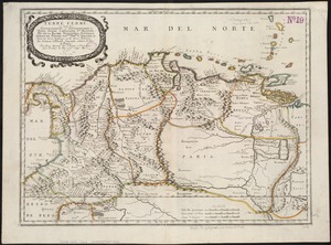
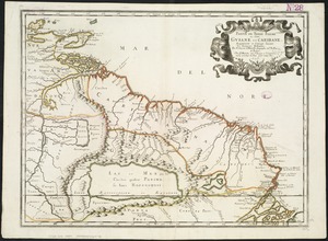
Terre ferme ou sont les governations ou gouvernemens de Terre ferme, Cartagene Ste. Marthe, Rio de la Hache, Venezuela,...
2.
Le Perou : et le cours de la rivière Amazone, depuis ses sources jusques à la mer
3.
The Caribbee Islands and Guayana
4.
Carta particolare del'India Occidentale che comincia con il Capo S. Romano nel' mare del' nort è finisce con il' Rio Coquele
5.
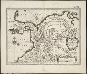
Terra Firma et Novum regnum Granatense et Popayan
6.
Terra firma et novum regnum Granatense et Popayan
7.
Terra firma et novum regnum Granatense et Popayan
8.
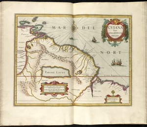
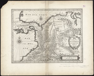
Guiana sive Amazonum regio
9.
A chart of the sea coast of Brazil from Cape St. Augustine to the straights of Magellan, & in the South Sea, from the latitud...
10.
La Florida
11.
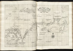
Peru
12.
Peru
13.
Guiana siue Amazonum regio
14.
Partie de Terre Ferme ou sont Guiane et Caribane
15.
Terra Firma et novum regnum Granatense et Popayan
16.
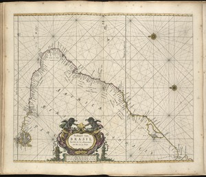
Accuratissima Brasiliae tabula
17.
Brasilia
18.
Pascaarte vande zee custen van Guinea, en Brasilia : van Cabo de Verde, tot C. de bona Esperanc̨a : van R. de Amazones tot Rio...
19.
Paskaart van Brasil van Rio de los Amazones tot Rio de la Plata
20.
Recens elaborata mappa geographica regni Brasiliae in America Meridionali maxime celebris
‹ Prev
Next ›
1
2
3
4
5
…
434
435