Toggle navigation
LMEC Home
Exhibitions
Georeferencing
Tools for Teachers
Collections
My Favorites
Sign Up / Log In
Search
Search the map portal
Map Collection
Map Collection
Map Sets
Search
Search
Search for
Search In
All Fields
Creator
Title
Subject
Place
Search All Digital Collections
Advanced Search
8710 Results
My Search
Start Over
More Like
commonwealth:x633ff76b
Remove constraint More Like: commonwealth:x633ff76b
Filter your Search
Place
North and Central America
5,941
United States
4,859
Massachusetts
2,080
Europe
1,396
Suffolk (county)
1,060
Boston
1,033
Canada
449
Asia
438
more
Place
»
Topic
Boston (Mass.)--Maps
586
United States--Maps
282
Real property--Massachusetts--Boston--Maps
183
Massachusetts--Maps
162
Landowners--Massachusetts--Boston--Maps
141
North America--Maps--Early works to 1800
103
New England--Maps
102
Europe--Maps
79
more
Topic
»
Date
Date range begin
–
Date range end
Current results range from
1482
to
2023
View distribution
Creator
United States. Hydrographic Office
595
O.H. Bailey & Co
148
Des Barres, Joseph F. W. (Joseph Frederick Wallet), 1722-1824
123
United States. Post Office Dept
120
Ptolemy, 2nd cent
100
Walling, Henry Francis, 1825-1888
94
Geological Survey (U.S.)
86
Jefferys, Thomas, -1771
85
more
Creator
»
Format
Maps/Atlases
8,650
Manuscripts
215
Prints
56
Books
36
Objects/Artifacts
10
Drawings/Illustrations
8
Posters
5
Georeferenced
Yes
869
No
7,841
Collection
Norman B. Leventhal Map & Education Center Collection
8,695
Boston and New England Maps
2,239
Urban Maps
2,028
Maritime Charts and Atlases
1,083
American Revolutionary War-Era Maps
616
Boston Redevelopment Authority Collection
93
Massachusetts Real Estate Atlases
9
Applied Geographics, Inc. Records
1
Available to use
No known restrictions
8,559
Creative Commons license
47
Search Constraints
Sort by relevance
relevance
title
date (asc)
date (desc)
Number of results to display per page
20 per page
10
per page
20
per page
50
per page
100
per page
View results as:
grid view
map view
Search Results
2701.
Hibernia mine tract : with profile & section showing working's Sept. 1855
2702.
Hierosolyma urbs sancta, Iudeae, totiusque orientis longe clarisima, qua amplitudine ac magnificentia hoc nostro aeuo conspicua...
2703.
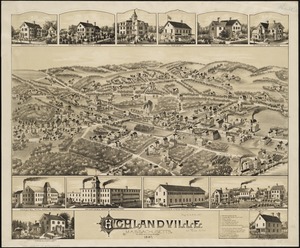
Highlandville, Massachusetts : 1887
2704.
Highway map of Plymouth County, Massachusetts : prepared for the Plymouth County atlas
2705.
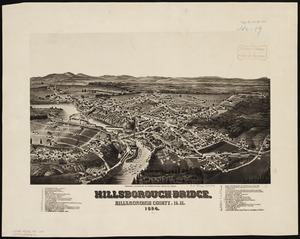
Hillsborough-Bridge, Hillsborough County, N.H : 1884
2706.
Hindoostan
2707.
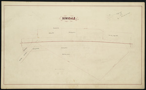
Hinsdale
2708.
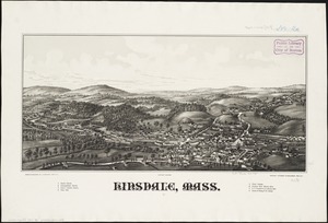
Hinsdale, Mass
2709.
Hinsdale, N.H
2710.
[Hispania]
2711.
Hispaniae novae nova descriptio
2712.
Hispaniae novae sivae magnae, recens et vera desciptio : 1579
2713.
Hispaniae veteris descriptio
2714.
Historic and modern Boston-Cambridge-Salem Lexington Concord
2715.
Historic Massachusetts : a travel map to help you feel at home in the Bay State
2716.
Historic Massachusetts : a travel map to help you feel at home in the Bay State
2717.
Historic Niagara Frontier
2718.
An historical and literary map of the Old Line State of Maryland : showing forth divers curious and notable facts relating to...
2719.
Historical map of Nantucket
2720.
An historical map of Pennsylvania : showing the Indian names of streams and villages, and paths of travel : the sites of old...
‹ Prev
Next ›
1
2
…
132
133
134
135
136
137
138
139
140
…
435
436


![[Hispania]](https://bpldcassets.blob.core.windows.net/derivatives/images/commonwealth:7h14b057s/image_thumbnail_300.jpg)