Search Constraints
Search Results
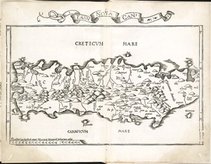
7842. Tabu. nova Can
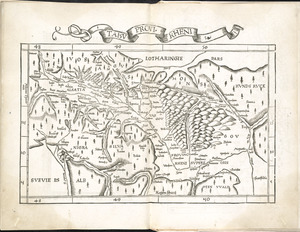
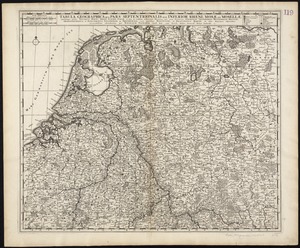
7843. Tabu. provi. Rheni
![Tabu. provi. Rheni [verso]](https://bpldcassets.blob.core.windows.net/derivatives/images/commonwealth:3f462s27r/image_thumbnail_300.jpg)
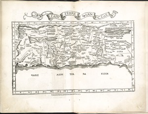
7845. Tabu. terre Sanctae
7854. Tabula I Aphri
7855. Tabula I Asiae
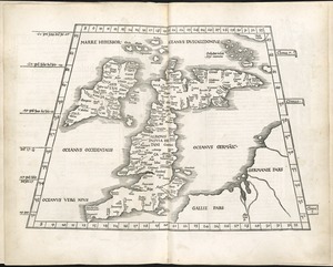
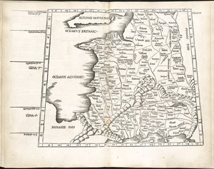
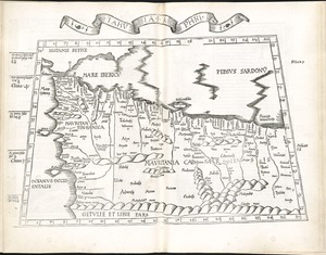
7856. Tabula I Europae
7857. Tabula II Asiae
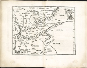
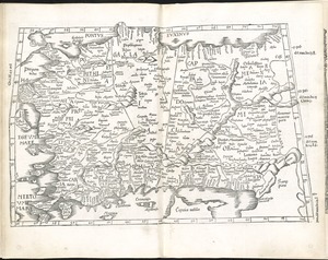
7858. Tabula II Europae
7859. Tabula III Asiae