Toggle navigation
LMEC Home
Exhibitions
Georeferencing
Tools for Teachers
Collections
My Favorites
Sign Up / Log In
Search
Search the map portal
Map Collection
Map Collection
Map Sets
Search
Search
Search for
Search In
All Fields
Creator
Title
Subject
Place
Search All Digital Collections
Advanced Search
8174 Results
My Search
Start Over
More Like
commonwealth:x633f945h
Remove constraint More Like: commonwealth:x633f945h
Filter your Search
Place
North and Central America
4,923
United States
3,613
Suffolk (county)
1,026
Boston
999
Europe
963
Canada
427
France
269
Massachusetts
249
more
Place
»
Topic
Boston (Mass.)--Maps
574
United States--Maps
270
Real property--Massachusetts--Boston--Maps
174
Massachusetts--Maps
160
Landowners--Massachusetts--Boston--Maps
132
North America--Maps--Early works to 1800
103
New England--Maps
99
Europe--Maps
78
more
Topic
»
Date
Date range begin
–
Date range end
Current results range from
1482
to
2023
View distribution
Creator
United States. Hydrographic Office
357
O.H. Bailey & Co
148
Des Barres, Joseph F. W. (Joseph Frederick Wallet), 1722-1824
125
United States. Post Office Dept
120
Ptolemy, 2nd cent
100
Walling, Henry Francis, 1825-1888
94
Jefferys, Thomas, -1771
84
Geological Survey (U.S.)
82
more
Creator
»
Format
Maps/Atlases
8,115
Manuscripts
219
Prints
51
Books
36
Objects/Artifacts
10
Drawings/Illustrations
8
Posters
4
Georeferenced
Yes
869
No
7,305
Collection
Norman B. Leventhal Map Center Collection
8,168
Boston and New England Maps
2,189
Urban Maps
1,925
Maritime Charts and Atlases
757
American Revolutionary War-Era Maps
626
Boston Redevelopment Authority Collection
86
Mapping Boston Collection
6
Library of Congress Collection
5
more
Collection
»
Available to use
No known restrictions
8,021
Creative Commons license
58
Search Constraints
Sort by date (asc)
relevance
title
date (asc)
date (desc)
Number of results to display per page
20 per page
10
per page
20
per page
50
per page
100
per page
View results as:
grid view
map view
Search Results
7201.
Manitoba : map showing disposition of lands
7202.
Map railway route, Seward to Fairbanks : (including Matanuska - branch)
7203.
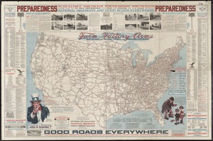
National highways map of the United States showing one hundred fifty thousand miles of national highways proposed by the...
7204.
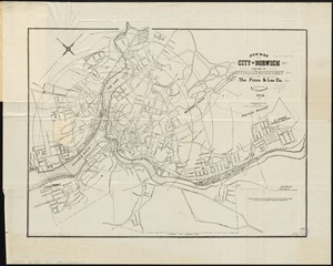
New map of the city of Norwich
7205.
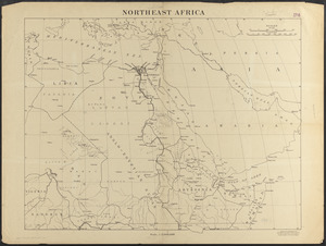
Northeast Africa
7206.
Northwest Africa
7207.
The official map of New York : compiled from United States government surveys, official state surveys, and other sources
7208.
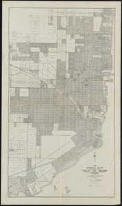
The official plat "City of Miami," Florida
7209.
Palestine
7210.
Poland
7211.
Poland & Lithuania
7212.
Roumania
7213.
South Africa
7214.
Spartanburg, South Carolina : the city of success ; city map and street directory
7215.
Street index map of Oakland, Albany, Berkeley, Emeryville, Piedmont, Alameda, San Leandro, Alameda Co., California
7216.
Syria
7217.
Victory map
7218.
Worley's map of Dallas and suburbs
7219.
Airways of the world on Mercator's projection
7220.
Atlas of the city of Boston : South Boston : from actual surveys and official plans
‹ Prev
Next ›
1
2
…
357
358
359
360
361
362
363
364
365
…
408
409