Toggle navigation
LMEC Home
Exhibitions
Georeferencing
Tools for Teachers
Collections
My Favorites
Sign Up / Log In
Search
Search the map portal
Map Collection
Map Collection
Map Sets
Search
Search
Search for
Search In
All Fields
Creator
Title
Subject
Place
Search All Digital Collections
Advanced Search
8859 Results
My Search
Start Over
More Like
commonwealth:x633f915s
Remove constraint More Like: commonwealth:x633f915s
Filter your Search
Place
North and Central America
6,011
United States
4,859
Massachusetts
2,079
Europe
1,396
Suffolk (county)
1,046
Boston
1,019
Canada
454
Asia
442
more
Place
»
Topic
Boston (Mass.)--Maps
586
United States--Maps
282
North America--Maps--Early works to 1800
240
Real property--Massachusetts--Boston--Maps
175
Massachusetts--Maps
162
Landowners--Massachusetts--Boston--Maps
133
New England--Maps
102
Europe--Maps
79
more
Topic
»
Date
Date range begin
–
Date range end
Current results range from
1482
to
2023
View distribution
Creator
United States. Hydrographic Office
595
O.H. Bailey & Co
148
Des Barres, Joseph F. W. (Joseph Frederick Wallet), 1722-1824
123
United States. Post Office Dept
120
Ptolemy, 2nd cent
100
Jefferys, Thomas, -1771
94
Walling, Henry Francis, 1825-1888
94
Sayer, Robert, 1725-1794
89
more
Creator
»
Format
Maps/Atlases
8,799
Manuscripts
217
Prints
56
Books
36
Objects/Artifacts
10
Drawings/Illustrations
8
Posters
5
Georeferenced
Yes
872
No
7,987
Collection
Norman B. Leventhal Map & Education Center Collection
8,707
Boston and New England Maps
2,234
Urban Maps
2,023
Maritime Charts and Atlases
1,083
American Revolutionary War-Era Maps
754
Boston Redevelopment Authority Collection
87
MacLean Collection Map Library
67
New York Public Library Collection
36
more
Collection
»
Available to use
No known restrictions
8,556
Creative Commons license
121
Search Constraints
Sort by relevance
relevance
title
date (asc)
date (desc)
Number of results to display per page
20 per page
10
per page
20
per page
50
per page
100
per page
View results as:
grid view
map view
Search Results
7061.
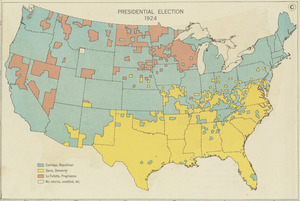
Presidential election 1924
7062.
Presidio di Firenze
7063.
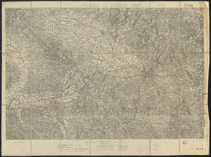
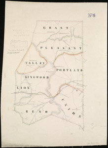
Preston Co., West Va
7064.
Preussen, der Norddeutsche bund und Dänemark
7065.
The Price & Lee Co's map of Orange
7066.
The Price & Lee Co's map of the city of New Haven, Connecticut
7067.
The Price & Lee Co's map of the City of Newark, N.J. including Irvington
7068.
The Price & Lee Co's map of the city of Springfield Mass.
7069.
The Price & Lee Co's new map of Caldwell, Verona, Essex Fells, Cedar Grove, Essex County, New Jersey
7070.
The Price & Lee Co's new map of Montclair, Glen Ridge and Bloomfield, New Jersey
7071.
The Price & Lee Co's new map of the city of Holyoke and part of the city of Chicopee, Mass
7072.
The Price & Lee Co's new map of the city of Paterson, Haledon and borough of Prospect Park
7073.
Prichard & Roberts' new Chester guide
7074.
Prima Africae tabula
7075.
Prima Asie Tabula : continet pontum & Bithiniã et regionem q̃, pprie Asya dicitur ac lyciam & Gallaciam ac Pamphiliam &...
7076.
Prima Europae tabula
7077.
Prima Europe tabula
7078.
Primary triangulation between the Maryland and Georgia base-lines
7079.
Principal cities of the United States
7080.
The principall islands in America belonging to the English empire viz Iamaica, Barbados, Antegoa, St. Christophers & Bermudos
‹ Prev
Next ›
1
2
…
350
351
352
353
354
355
356
357
358
…
442
443