Toggle navigation
LMEC Home
Exhibitions
Georeferencing
Tools for Teachers
Collections
My Favorites
Sign Up / Log In
Search
Search the map portal
Map Collection
Map Collection
Map Sets
Search
Search
Search for
Search In
All Fields
Creator
Title
Subject
Place
Search All Digital Collections
Advanced Search
8579 Results
My Search
Start Over
More Like
commonwealth:ww72bp112
Remove constraint More Like: commonwealth:ww72bp112
Filter your Search
Place
North and Central America
5,861
United States
4,784
Massachusetts
2,056
Europe
1,359
Suffolk (county)
1,038
Boston
1,011
Canada
448
Asia
422
more
Place
»
Topic
Boston (Mass.)--Maps
580
United States--Maps
278
Real property--Massachusetts--Boston--Maps
175
Massachusetts--Maps
160
Landowners--Massachusetts--Boston--Maps
133
North America--Maps--Early works to 1800
103
New England--Maps
101
World maps
82
more
Topic
»
Date
Date range begin
–
Date range end
Current results range from
1482
to
2023
View distribution
Creator
United States. Hydrographic Office
594
O.H. Bailey & Co
148
Des Barres, Joseph F. W. (Joseph Frederick Wallet), 1722-1824
123
United States. Post Office Dept
120
Ptolemy, 2nd cent
100
Walling, Henry Francis, 1825-1888
94
Geological Survey (U.S.)
86
Jefferys, Thomas, -1771
85
more
Creator
»
Format
Maps/Atlases
8,520
Manuscripts
218
Prints
56
Books
36
Objects/Artifacts
10
Drawings/Illustrations
8
Posters
4
Georeferenced
Yes
869
No
7,710
Collection
Norman B. Leventhal Map & Education Center Collection
8,572
Boston and New England Maps
2,211
Urban Maps
1,940
Maritime Charts and Atlases
1,081
American Revolutionary War-Era Maps
621
Boston Redevelopment Authority Collection
87
William L. Clements Library Collection
5
Sidney R. Knafel Map Collection at Phillips Academy
2
Available to use
No known restrictions
8,426
Creative Commons license
49
Search Constraints
Sort by relevance
relevance
title
date (asc)
date (desc)
Number of results to display per page
20 per page
10
per page
20
per page
50
per page
100
per page
View results as:
grid view
map view
Search Results
7781.
Temperature chart of the United States : showing the distribution by isothermal curves of the mean annual temperature of the...
7782.
Ten miles around Lynn
7783.
Tennassee : lately the S. Wn. Territory
7784.
Tennessee River basin
7785.
Tercia Europe tabula continet Gallia
7786.
Terra di Bari et Basilicata
7787.
La Terra di Lavoro ed I principati citeriore ulteriore
7788.
Terra di Lavoro, olim Campania felix
7789.
Terra di Otranto olim Salentina et Iapigia
7790.
Terra Firma and the Caribbé Islands &c
7791.
Terra Firma et Novum regnum Granatense et Popayan
7792.
Terra firma et novum regnum Granatense et Popayan
7793.
Terra Firma et novum regnum Granatense et Popayan
7794.
Terra firma et novum regnum Granatense et Popayan
7795.
Terra nova, ac maris tractus circa Novam Franciam, Angliam, Belgium, Venezuelam Novam, Andalusiam, Guianan, et Brasiliam =...
7796.
Terre Artiche
7797.
Terre ferme ou sont les governations ou gouvernemens de Terre ferme, Cartagene Ste. Marthe, Rio de la Hache, Venezuela,...
7798.
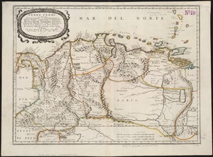
Territorial acquisitions, 1783-1853
7799.
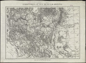
Territories of New Mexico & Arizona
7800.
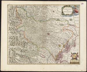
Territorio di Bologna
‹ Prev
Next ›
1
2
…
386
387
388
389
390
391
392
393
394
…
428
429