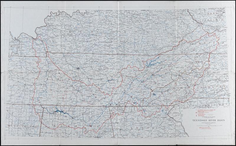
Tennessee River basin
Item Information
- Title:
- Tennessee River basin
- Cartographer:
- Geological Survey (U.S.)
- Date:
-
1933
- Format:
-
Maps/Atlases
- Location:
-
Boston Public Library
Norman B. Leventhal Map & Education Center - Collection (local):
-
Norman B. Leventhal Map & Education Center Collection
- Subjects:
-
Tennessee River Valley--Maps
- Places:
-
Tennessee Valley (area)
- Extent:
- 1 map : color ; 92 x 157 cm
- Terms of Use:
-
No known copyright restrictions.
No known restrictions on use.
- Publisher:
-
[Washington, DC] :
U.S. Geological Survey
- Scale:
-
Scale 1:500,000
- Projection:
- Lambert conformal conic projection
- Language:
-
English
- Notes:
-
Shows streams, towns, railroads, county boundaries and basin boundary.
"Engraved and printed by the U.S. Geological Survey."
- Identifier:
-
06_01_014690
- Call #:
-
G3942.T4C315 1933 .G46
- Barcode:
-
39999065704320


