Toggle navigation
LMEC Home
Exhibitions
Georeferencing
Tools for Teachers
Collections
My Favorites
Sign Up / Log In
Search
Search the map portal
Map Collection
Map Collection
Map Sets
Search
Search
Search for
Search In
All Fields
Creator
Title
Subject
Place
Search All Digital Collections
Advanced Search
9048 Results
My Search
Start Over
More Like
commonwealth:wp98c3943
Remove constraint More Like: commonwealth:wp98c3943
Filter your Search
Place
North and Central America
6,279
United States
5,197
Massachusetts
2,150
Suffolk (county)
1,399
Europe
1,396
Boston
1,372
Canada
449
Asia
438
more
Place
»
Topic
Boston (Mass.)--Maps
676
City planning--Massachusetts--Boston--Maps
418
United States--Maps
282
Urban renewal--Massachusetts--Boston--Maps
253
Real property--Massachusetts--Boston--Maps
217
Massachusetts--Maps
162
Landowners--Massachusetts--Boston--Maps
135
North America--Maps--Early works to 1800
103
more
Topic
»
Date
Date range begin
–
Date range end
Current results range from
1482
to
2023
View distribution
Creator
United States. Hydrographic Office
595
Boston Redevelopment Authority
391
O.H. Bailey & Co
148
Des Barres, Joseph F. W. (Joseph Frederick Wallet), 1722-1824
123
United States. Post Office Dept
120
Ptolemy, 2nd cent
100
Walling, Henry Francis, 1825-1888
94
Geological Survey (U.S.)
86
more
Creator
»
Format
Maps/Atlases
8,988
Manuscripts
215
Prints
56
Books
36
Objects/Artifacts
10
Drawings/Illustrations
8
Posters
5
Georeferenced
Yes
869
No
8,179
Collection
Norman B. Leventhal Map & Education Center Collection
8,694
Boston and New England Maps
2,586
Urban Maps
2,374
Maritime Charts and Atlases
1,083
American Revolutionary War-Era Maps
616
Boston Redevelopment Authority Collection
440
Available to use
No known restrictions
8,906
Creative Commons license
47
Search Constraints
Sort by relevance
relevance
title
date (asc)
date (desc)
Number of results to display per page
20 per page
10
per page
20
per page
50
per page
100
per page
View results as:
grid view
map view
Search Results
6741.
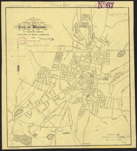
Plan of the central part of the city of Worcester
6742.
A Plan of the city & fortifications of Louisburg
6743.
A plan of the city & harbour of Louisburg : shewing that part of Gabarus Bay in which the English landed, also their encampment...
6744.
A plan of the city and environs of New York in North America
6745.
A plan of the city and environs of Philadelphia
6746.
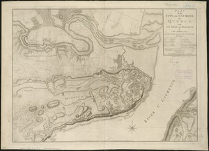
Plan of the city and environs of Quebec, with its siege and blockade by the Americans, from the 8th of December 1775 to the...
6747.
A plan of the city, and fortifications, of Louisburg
6748.
A plan of the city, and fortifications, of Louisburg : from a survey made by Richard Gridley, Lieut. Coll. of the Train of...
6749.
A plan of the city and harbour of Havanna situated on the island of Cuba
6750.
Plan of the city and harbour of the Havana ; Plan of Bahia de Matanzas
6751.
A plan of the city and harbour of the Havana situated on the island of Cuba
6752.
Plan of the city and harbour of Toulon
6753.
Plan of the city and suburbs of Carthagena ; Plan of the bay & town of Sta. Martha, on the coast of Tierra Firma
6754.
Plan of the city intended for the permanent seat of the government of t[he] United States : projected agreeable to the...
6755.
Plan of the city intended for the permanent seat of the government of the United States : projected agreeable to the direction...
6756.
Plan of the city of Albany about the year 1770 : from the original survey
6757.
Plan of the city of Boston
6758.
Plan of the city of Boston
6759.
Plan of the city of Boston
6760.
Plan of the city of Boston
‹ Prev
Next ›
1
2
…
334
335
336
337
338
339
340
341
342
…
452
453


![Plan of the city intended for the permanent seat of the government of t[he] United States](https://bpldcassets.blob.core.windows.net/derivatives/images/commonwealth:4m90f381c/image_thumbnail_300.jpg)


