Toggle navigation
LMEC Home
Exhibitions
Georeferencing
Tools for Teachers
Collections
My Favorites
Sign Up / Log In
Search
Search the map portal
Map Collection
Map Collection
Map Sets
Search
Search
Search for
Search In
All Fields
Creator
Title
Subject
Place
Search All Digital Collections
Advanced Search
8885 Results
My Search
Start Over
More Like
commonwealth:wd376722h
Remove constraint More Like: commonwealth:wd376722h
Filter your Search
Place
North and Central America
6,116
United States
5,032
Massachusetts
2,129
Europe
1,396
Suffolk (county)
1,207
Boston
1,180
Canada
456
Asia
438
more
Place
»
Topic
Boston (Mass.)--Maps
752
United States--Maps
282
Real property--Massachusetts--Boston--Maps
195
Massachusetts--Maps
168
City planning--Massachusetts--Boston--Maps
157
Landowners--Massachusetts--Boston--Maps
142
New England--Maps
127
North America--Maps--Early works to 1800
103
more
Topic
»
Date
Date range begin
–
Date range end
Current results range from
1482
to
2023
View distribution
Creator
United States. Hydrographic Office
595
Boston Redevelopment Authority
162
O.H. Bailey & Co
148
Des Barres, Joseph F. W. (Joseph Frederick Wallet), 1722-1824
124
United States. Post Office Dept
120
Ptolemy, 2nd cent
100
Walling, Henry Francis, 1825-1888
94
Geological Survey (U.S.)
87
more
Creator
»
Format
Maps/Atlases
8,825
Manuscripts
215
Prints
56
Books
36
Objects/Artifacts
10
Drawings/Illustrations
8
Posters
5
Georeferenced
Yes
885
No
8,000
Collection
Norman B. Leventhal Map & Education Center Collection
8,727
Boston and New England Maps
2,363
Urban Maps
2,142
Maritime Charts and Atlases
1,083
American Revolutionary War-Era Maps
653
Boston Redevelopment Authority Collection
191
Mapping Boston Collection
20
American Antiquarian Society Collection
16
more
Collection
»
Available to use
No known restrictions
8,668
Creative Commons license
73
Search Constraints
Sort by relevance
relevance
title
date (asc)
date (desc)
Number of results to display per page
20 per page
10
per page
20
per page
50
per page
100
per page
View results as:
grid view
map view
Search Results
5241.
Merrimac, Mass
5242.
Metia Island, Paumotu Group ; Taweree or St. Simeon or Resolution Island, Paumotu Group ; Takurea or Wolconsky Island, Paumotu...
5243.
Metropolitan district - inner section : population of cities & towns by five year periods from 1910 to 1925
5244.
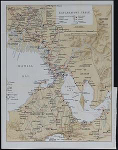
Metropolitan Manila
5245.
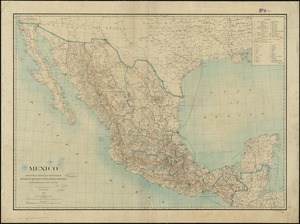
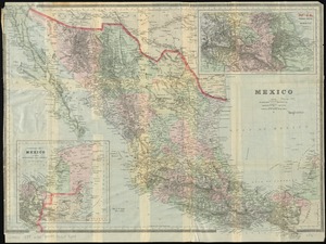
Mexico : from official Mexican and other sources
5246.
Mexico : from official Mexican and other sources
5247.
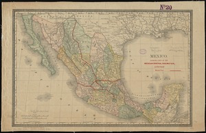
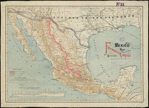
Mexico : showing lines of the Mexican Central Railway Co., Limited
5248.
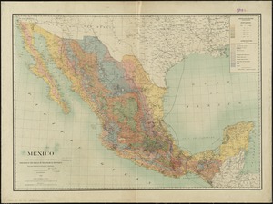
Mexico
5249.
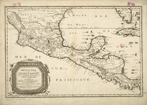
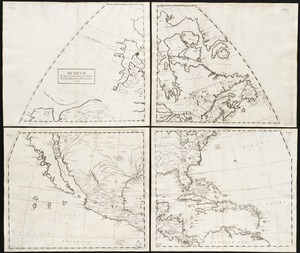
[Mexico and Central America]
5250.
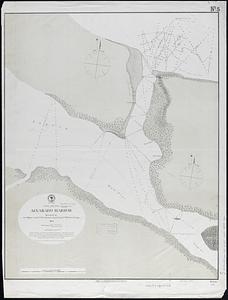
Mexico, Gulf coast, Alvarado Harbor : surveyed by the officers of the U.S.S. "Fortune" Lieut. Comdr. F.M. Green, comdg.
5251.
Mexico, mapa de las lineas del Ferrocarril Central Mexicano y conecciones
5252.
Mexicque, ou Nouvelle Espagne, Nouvlle. Gallice, Iucatan &c : et autres provinces jusques a l'Isthme de Panama, ou sont les...
5253.
Mexicum in hac forma in lucem
5254.
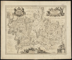
Middelsexiae cum Hertfordiae comitatu : Midlesex & Hertford Shire
5255.
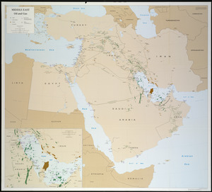
Middle East, oil and gas : Middle East
5256.
Middle Georgia & South Carolina
5257.
[Middle Georgia and South Carolina]
5258.
Middle Virginia and North Carolina
5259.
Middleboro, Mass., 1881
5260.
Middleborough, Massachusetts : 1889
‹ Prev
Next ›
1
2
…
259
260
261
262
263
264
265
266
267
…
444
445

![[Mexico and Central America]](https://bpldcassets.blob.core.windows.net/derivatives/images/commonwealth:cj82m4685/image_thumbnail_300.jpg)
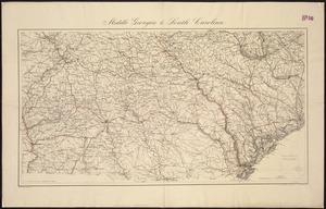
![[Middle Georgia and South Carolina]](https://bpldcassets.blob.core.windows.net/derivatives/images/commonwealth:7h14b2665/image_thumbnail_300.jpg)