Toggle navigation
LMEC Home
Exhibitions
Georeferencing
Tools for Teachers
Collections
My Favorites
Sign Up / Log In
Search
Search the map portal
Map Collection
Map Collection
Map Sets
Search
Search
Search for
Search In
All Fields
Creator
Title
Subject
Place
Search All Digital Collections
Advanced Search
8752 Results
My Search
Start Over
More Like
commonwealth:w9505s867
Remove constraint More Like: commonwealth:w9505s867
Filter your Search
Place
North and Central America
5,977
United States
4,871
Massachusetts
2,079
Europe
1,396
Suffolk (county)
1,046
Boston
1,019
Canada
498
Asia
438
more
Place
»
Topic
Boston (Mass.)--Maps
586
United States--Maps
282
Real property--Massachusetts--Boston--Maps
175
Massachusetts--Maps
162
Landowners--Massachusetts--Boston--Maps
133
North America--Maps--Early works to 1800
108
New England--Maps
102
Canada--Maps--Early works to 1800
79
more
Topic
»
Date
Date range begin
–
Date range end
Current results range from
1482
to
2023
View distribution
Creator
United States. Hydrographic Office
595
O.H. Bailey & Co
148
Des Barres, Joseph F. W. (Joseph Frederick Wallet), 1722-1824
123
United States. Post Office Dept
120
Ptolemy, 2nd cent
100
Walling, Henry Francis, 1825-1888
94
Jefferys, Thomas, -1771
87
Geological Survey (U.S.)
86
more
Creator
»
Format
Maps/Atlases
8,692
Manuscripts
217
Prints
56
Books
36
Objects/Artifacts
10
Drawings/Illustrations
8
Posters
5
Georeferenced
Yes
870
No
7,882
Collection
Norman B. Leventhal Map & Education Center Collection
8,696
Boston and New England Maps
2,233
Urban Maps
2,023
Maritime Charts and Atlases
1,083
American Revolutionary War-Era Maps
670
Boston Redevelopment Authority Collection
87
MacLean Collection Map Library
38
Library and Archives Canada Collection
8
more
Collection
»
Available to use
No known restrictions
8,553
Creative Commons license
56
Search Constraints
Sort by relevance
relevance
title
date (asc)
date (desc)
Number of results to display per page
20 per page
10
per page
20
per page
50
per page
100
per page
View results as:
grid view
map view
Search Results
5661.
Nunan's map of Ashland Co., Ohio : showing the sections, farms, lots, & villages
5662.
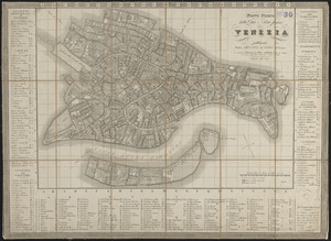
Nuoua pianta eleuata della nobile e cospicua citta di Venezia
5663.
Nuova carta dell'Italia
5664.
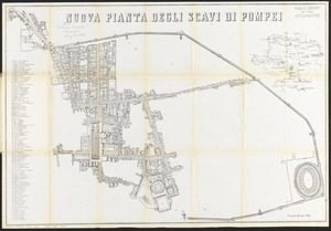
Nuova pianta degli scavi di Pompei
5665.
Nuova pianta degli scavi di Pompei
5666.
Nuova pianta della cittá e porto franco di Venezia
5667.
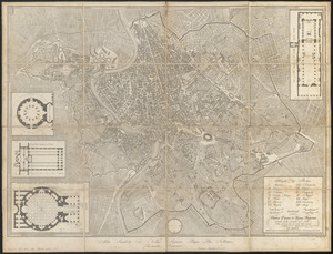
Nuova pianta di Roma moderna : estratta dalla grande del Nolli corretta ed accresciuta de' nomi delle contrade indicati al loro...
5668.
Nuova pianta di Venezia = Neuer plan von Venedig
5669.
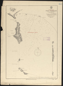
N.w. coast of Peru, Ferrol Bay & Port Chimbote
5670.
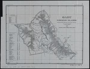
Oahu, Hawaiian Islands
5671.
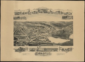
Oakdale, Massachusetts
5672.
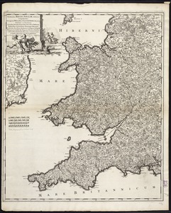
Occidentalior Regni Angliae districtus comprehendens principatum Walliae et Glocestriae ducatum comitatus et provincias...
5673.
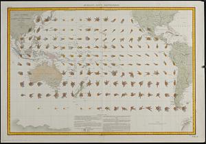
Océan Pacifique : cartes de la direction et de l'intensité probables des vents
5674.
Oceani occidetalis seu terre nove tabula
5675.
Octava Asiae tabula
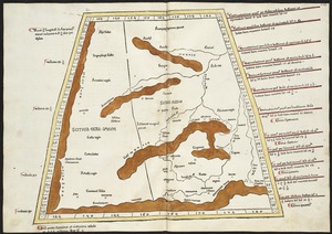
5676.
Octava Asie tabula continet Scythiam que citra Imaū est & seras
5677.
Octava Europae tabula
5678.
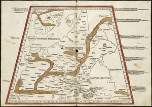
Octava Europe tabula continet Sarmatiam
5679.
Official highway map of the state of Vermont
5680.
Official map of American and Canadian airways and aerial mail routes
‹ Prev
Next ›
1
2
…
280
281
282
283
284
285
286
287
288
…
437
438