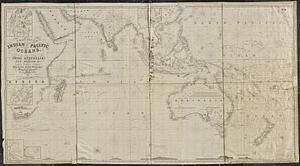
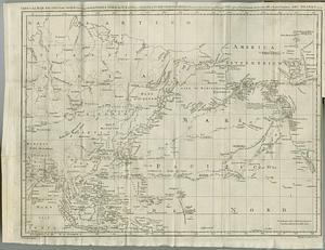
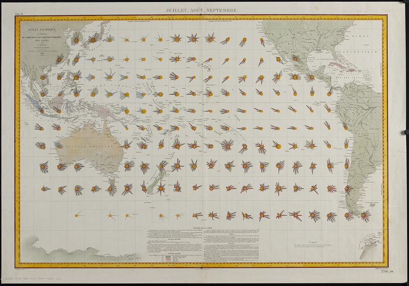
Océan Pacifique : cartes de la direction et de l'intensité probables des vents
Item Information
- Title:
- Océan Pacifique : cartes de la direction et de l'intensité probables des vents
- Cartographer:
- Brault, Louis Désiré Léon, 1839-1885
- Engraver:
- Dumas-Vorzet, Ed. (Eduard)
- Engraver:
- Legros, C.
- Name on Item:
-
par L. Brault ; gravé par C. Legros ; ecrit par Er. Dumas-Vorzet
- Date:
-
1880
- Format:
-
Maps/Atlases
- Genre:
-
Thematic maps
- Location:
-
Boston Public Library
Norman B. Leventhal Map & Education Center - Collection (local):
-
Norman B. Leventhal Map & Education Center Collection
- Subjects:
-
Pacific Ocean--Maps
Winds--Pacific Ocean--Maps
- Places:
-
Pacific Ocean
- Extent:
- 1 map : color ; 60 x 90 cm
- Terms of Use:
-
No known copyright restrictions.
No known restrictions on use.
- Publisher:
-
[Paris] :
Dépôt des cartes et plans de la Marine
- Scale:
-
Scale approximately 1:27,000,000 at equator
- Language:
-
French
- Notes:
-
Sheet from a set of 4 charts showing direction and strength of winds at different times of year.
For each square of 10 degrees latitude and longitude, wind-roses (vector diagrams) show direction and strength of prevailing winds.
Prime meridian: Paris.
Includes text.
"3766."
"114."
"Série D."
- Identifier:
-
06_01_019123
- Call #:
-
G9231.C842 1880 .B73
- Barcode:
-
39999085971313