Nuova pianta degli scavi di Pompei
Item Information
- Title:
- Nuova pianta degli scavi di Pompei
- Description:
-
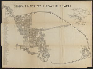
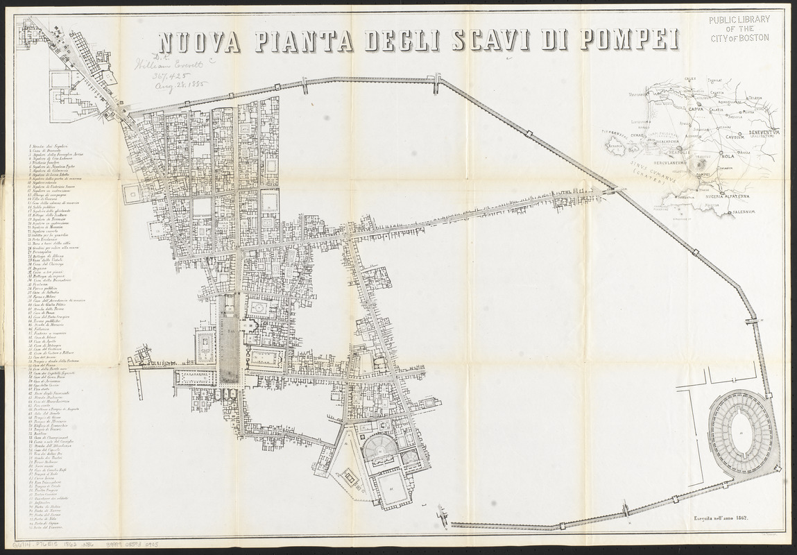
Located at the southeastern base of Mount Vesuvius, the ruins of the ancient city of Pompeii were discovered in the late 16th century; however, serious archaeological excavations did not begin at the site until the mid-18th century. The city had been "preserved in time" for nearly 1,700 years after Vesuvius exploded in 79 CE and buried the site in nearly 23 feet of volcanic debris. The 1862 map displayed here illustrates the excavations of Pompeii as they existed at that time, and lists 95 points of interest, including the Forum (65), the Triangular Forum (84) and the Amphitheatre (89).
- Lithographer:
- Steeger
- Date:
-
1862
- Format:
-
Maps/Atlases
- Location:
-
Boston Public Library
Norman B. Leventhal Map & Education Center - Collection (local):
-
Norman B. Leventhal Map & Education Center Collection
- Subjects:
-
Excavations (Archaeology)--Italy--Pompeii (Extinct city)--Maps
Pompeii (Extinct city)--Maps
- Places:
-
ItalyCampanian (region)Napoli (province)Pompeii (area)
- Extent:
- 1 map ; 48 x 71 cm, folded in cover 18 x 12 cm
- Terms of Use:
-
No known copyright restrictions.
No known restrictions on use.
- Publisher:
-
[Place of publication not identified] :
Lit. Steeger
- Scale:
-
Scale approximately 1:1,800
- Language:
-
Italian
- Notes:
-
Includes index to points of interest.
Inset: [Neapolis and environs].
- Notes (exhibitions):
-
Exhibited: "Beneath Our Feet: Mapping the World Below" organized by the Norman B. Leventhal Map Center at the Boston Public Library, 2017-2018.
Exhibited: "Beneath Our Feet" organized by the Norman B. Leventhal Map Center at the Boston Public Library, 2017.
- Identifier:
-
06_01_015085
- Call #:
-
G6714.P76E15 1862 .N86
- Barcode:
-
39999085930905