Search Constraints
Search Results
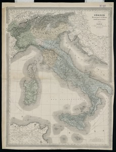
3001. Italie

3002. Italy
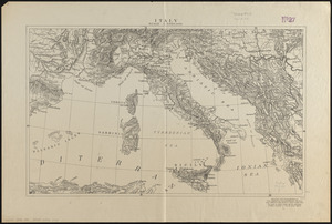
3003. Italy

3004. Italy

3005. Italy


3007. Italy with Vatican City


3012. Jackson County, Wis.

3013. Jamaica


3018. Jamaica Pond master plan

