Jamaica Park and Bussey Farm Parkway : West Roxbury district
Item Information
- Title:
- Jamaica Park and Bussey Farm Parkway : West Roxbury district
- Description:
-
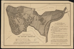
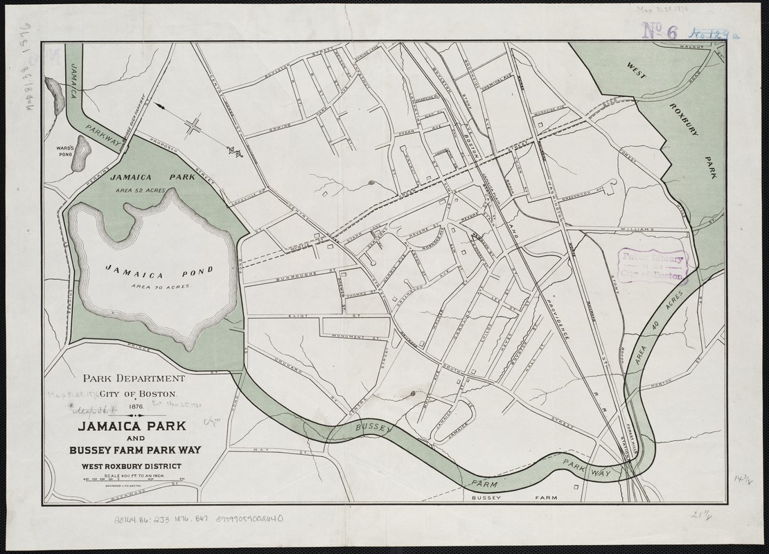
Boston’s largest body of fresh water, Jamaica Pond had long served both as a recreation spot and water source for the city. To Olmsted, the pond was a natural setting for a park, describing it in 1882 as “a natural sheet of water, with quiet, graceful shores, rear banks of varied elevation and contour, for the most part shaded by a fine natural forest-growth.” Unlike other parks in the Emerald Necklace, Olmsted did relatively little to alter the terrain. Shown here, Jamaica Park connects to the Necklace by two parkways: Jamaicaway to the north, and Arborway, formerly Bussey Farm Parkway.
- Creator:
- Boston (Mass.). Park Commissioners
- Date:
-
1876
- Format:
-
Maps/Atlases
- Location:
-
Boston Public Library
Norman B. Leventhal Map & Education Center - Collection (local):
-
Norman B. Leventhal Map & Education Center Collection
- Subjects:
-
Parks--Massachusetts--Boston--Jamaica Plain--Maps
Jamaica Plain (Boston, Mass.)--Maps
- Places:
-
MassachusettsSuffolk (county)BostonJamaica Plain
- Extent:
- 1 map : col. ; 37 x 54 cm.
- Terms of Use:
-
No known copyright restrictions.
No known restrictions on use.
- Publisher:
-
Boston, Mass :
[s.n.]
- Scale:
-
Scale 1:4,800.
- Language:
-
English
- Notes:
-
Oriented with north toward the upper left.
- Notes (exhibitions):
-
Exhibited: "Breathing Room: Mapping Boston's Green Spaces" organized by the Norman B. Leventhal Map Center at the Boston Public Library, 2018.
- Identifier:
-
06_01_003911
- Call #:
-
G3764.B6:2J3 1876 .B67
- Barcode:
-
39999059002640