Toggle navigation
LMEC Home
Exhibitions
Georeferencing
Tools for Teachers
Collections
My Favorites
Sign Up / Log In
Search
Search the map portal
Map Collection
Map Collection
Map Sets
Search
Search
Search for
Search In
All Fields
Creator
Title
Subject
Place
Search All Digital Collections
Advanced Search
8832 Results
My Search
Start Over
More Like
commonwealth:w9505r51x
Remove constraint More Like: commonwealth:w9505r51x
Filter your Search
Place
North and Central America
6,009
United States
4,859
Massachusetts
2,079
Europe
1,396
Suffolk (county)
1,046
Boston
1,019
Canada
454
Asia
441
more
Place
»
Topic
Boston (Mass.)--Maps
586
United States--Maps
282
North America--Maps--Early works to 1800
240
Real property--Massachusetts--Boston--Maps
175
Massachusetts--Maps
162
Landowners--Massachusetts--Boston--Maps
133
New England--Maps
102
Europe--Maps
79
more
Topic
»
Date
Date range begin
–
Date range end
Current results range from
1482
to
2023
View distribution
Creator
United States. Hydrographic Office
595
O.H. Bailey & Co
148
Des Barres, Joseph F. W. (Joseph Frederick Wallet), 1722-1824
123
United States. Post Office Dept
120
Ptolemy, 2nd cent
100
Walling, Henry Francis, 1825-1888
94
Jefferys, Thomas, -1771
92
Sayer, Robert, 1725-1794
87
more
Creator
»
Format
Maps/Atlases
8,772
Manuscripts
217
Prints
56
Books
36
Objects/Artifacts
10
Drawings/Illustrations
8
Posters
5
Georeferenced
Yes
872
No
7,960
Collection
Norman B. Leventhal Map & Education Center Collection
8,704
Boston and New England Maps
2,234
Urban Maps
2,023
Maritime Charts and Atlases
1,083
American Revolutionary War-Era Maps
739
Boston Redevelopment Authority Collection
87
MacLean Collection Map Library
59
New York Public Library Collection
32
more
Collection
»
Available to use
No known restrictions
8,556
Creative Commons license
111
Search Constraints
Sort by relevance
relevance
title
date (asc)
date (desc)
Number of results to display per page
20 per page
10
per page
20
per page
50
per page
100
per page
View results as:
grid view
map view
Search Results
3981.
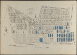
Map of property of the Surf Side Syndicate, Nantucket, Mass.
3982.
Map of proposed arboretum, showing its outlines and local connections, with a study for public drive passing through it
3983.
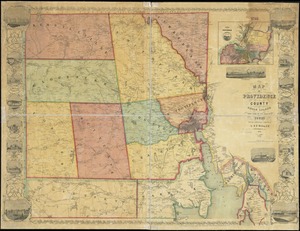
Map of Providence County, Rhode Island, with some of the adjacent towns
3984.
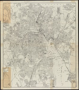
Map of Providence, Rhode Island
3985.
Map of public transportation routes in Greater Boston served by the Massachusetts Bay Transportation Authority comprising 64...
3986.
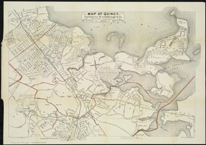
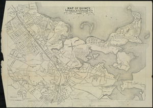
Map of Quincy
3987.
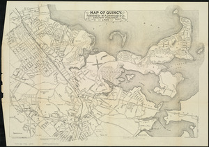
Map of Quincy
3988.
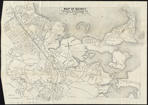
Map of Quincy
3989.
Map of Quincy
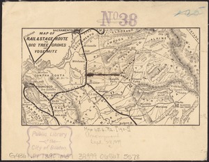
3990.
Map of rail & stage route to Big Tree Groves and Yosemite
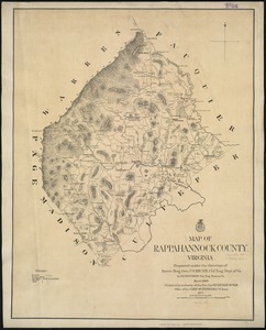
3991.
Map of Rappahannock County, Virginia : prepared under the direction of P.S. Michie
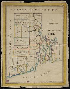
3992.
A map of Rhode Island
3993.
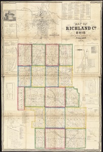
Map of Richland Co., Ohio
3994.
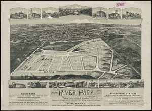
Map of River Park, Newton Upper Falls
3995.
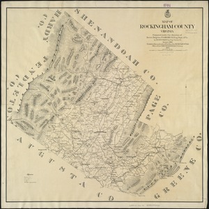
Map of Rockingham County, Virginia
3996.
Map of routes for a Pacific railroad
3997.
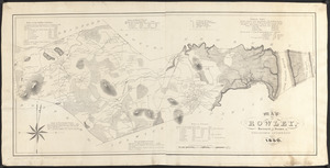
Map of Rowley
3998.
[Map of Salem, Mass.]
3999.
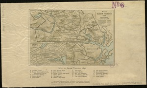
Map of Salem Village 1692
4000.
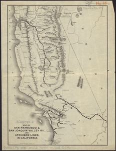
Map of San Francisco & San Joaquin Valley Ry. and Atchison lines in California
‹ Prev
Next ›
1
2
…
196
197
198
199
200
201
202
203
204
…
441
442


![[Map of Salem, Mass.]](https://bpldcassets.blob.core.windows.net/derivatives/images/commonwealth:8336h3099/image_thumbnail_300.jpg)