Toggle navigation
LMEC Home
Exhibitions
Georeferencing
Tools for Teachers
Collections
My Favorites
Sign Up / Log In
Search
Search the map portal
Map Collection
Map Collection
Map Sets
Search
Search
Search for
Search In
All Fields
Creator
Title
Subject
Place
Search All Digital Collections
Advanced Search
8668 Results
My Search
Start Over
More Like
commonwealth:tt44pw06x
Remove constraint More Like: commonwealth:tt44pw06x
Filter your Search
Place
North and Central America
5,963
United States
4,887
Massachusetts
2,090
Europe
1,359
Suffolk (county)
1,152
Boston
1,125
Canada
448
Asia
422
more
Place
»
Topic
Boston (Mass.)--Maps
598
United States--Maps
273
Real property--Massachusetts--Boston--Maps
251
Landowners--Massachusetts--Boston--Maps
168
Massachusetts--Maps
160
City planning--Massachusetts--Boston--Maps
142
North America--Maps--Early works to 1800
103
New England--Maps
99
more
Topic
»
Date
Date range begin
–
Date range end
Current results range from
1482
to
2023
View distribution
Creator
United States. Hydrographic Office
594
O.H. Bailey & Co
148
Boston Redevelopment Authority
144
Des Barres, Joseph F. W. (Joseph Frederick Wallet), 1722-1824
123
United States. Post Office Dept
120
Ptolemy, 2nd cent
100
Walling, Henry Francis, 1825-1888
94
Geological Survey (U.S.)
86
more
Creator
»
Format
Maps/Atlases
8,608
Manuscripts
215
Prints
56
Books
36
Objects/Artifacts
10
Drawings/Illustrations
9
Posters
4
Georeferenced
Yes
870
No
7,798
Collection
Norman B. Leventhal Map & Education Center Collection
8,551
Boston and New England Maps
2,284
Urban Maps
2,015
Maritime Charts and Atlases
1,081
American Revolutionary War-Era Maps
620
Boston Redevelopment Authority Collection
166
Massachusetts Real Estate Atlases
35
William L. Clements Library Collection
3
more
Collection
»
Available to use
No known restrictions
8,487
Creative Commons license
48
Search Constraints
Sort by relevance
relevance
title
date (asc)
date (desc)
Number of results to display per page
20 per page
10
per page
20
per page
50
per page
100
per page
View results as:
grid view
map view
Search Results
121.
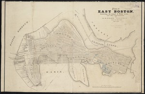
Plan of East Boston : exhibiting the land & water lots and other improvements
122.
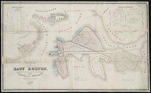
Plan of East Boston showing the land and water lots sold and unsold : also all buildings and other improvements
123.
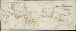
Plan of estate of the Boston Land Co. and surroundings
124.
Plan of Orient Heights, Boston, Mass
125.
Plan of property of the National Dock & Warehouse Co. East Boston
126.
Preliminary plan for Wood Island Park, East Boston
127.
West Wood Island Park, East Boston district
128.
Boston with Charlestown and Roxbury
129.
Charlestown Navy Yard area
130.
Charlestown Navy Yard master plan
131.
Charlestown urban renewal project Boston (Suffolk County) Massachusetts Mass. R-55 : topographic map
132.
Charlestown Veterans Memorial, Charlestown, Massachusetts
133.
Flirtation walk existing conditions plan Charlestown Navy Yard
134.
Flirtation walk schematic planting plan Charlestown Navy Yard
135.
Gate 5 - Chelsea Street modified landscape scheme, Charlestown, MA
136.
Infrastructure around Tobin Bridge/US route 1 in Charlestown
137.
Insurance maps of Boston volume 4 : comprising portions of Charlestown, East Cambridge, Cambridge Port, Old Cambridge & Somerville
138.
Little Mystic Channel landscape scheme, Charlestown, MA
139.
A new & complete map of the city of Boston, with part of Charlestown, Cambridge & Roxbury
140.
A new & complete map of the city of Boston, with part of Charlestown, Cambridge & Roxbury
‹ Prev
Next ›
1
2
3
4
5
6
7
8
9
10
11
…
433
434