Plan of Orient Heights, Boston, Mass

Item Information
- Title:
- Plan of Orient Heights, Boston, Mass
- Description:
-
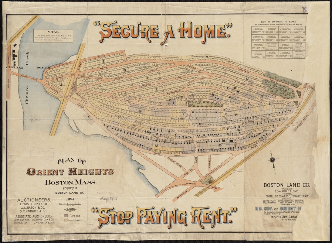
With Boston’s rising population and increased demand for housing, the Boston Land Company began to develop former marshland in East Boston in the 1880s, including Hog Island (also called Breed’s Island) which became Orient Heights. A promotional map from the Boston Land Company and brochure from the East Boston Company, formed to oversee the residential and commercial development of the neighborhood, highlight the opportunity to own a single family home, away from the more densely settled neighborhoods of the North End and West End.
- Creator:
- Whitman, H. T.
- Date:
-
1894
- Format:
-
Maps/Atlases
- Location:
-
Boston Public Library
Norman B. Leventhal Map & Education Center - Collection (local):
-
Norman B. Leventhal Map & Education Center Collection
- Subjects:
-
Real property--Massachusetts--Orient Heights--Maps
Land tenure--Massachusetts--Orient Heights--Maps
Orient Heights (Mass.)--Maps
East Boston (Boston, Mass.)--Maps
- Places:
-
MassachusettsSuffolk (county)BostonEast Boston
MassachusettsSuffolk (county)BostonOrient Heights
- Extent:
- 1 map : col. ; 51 x 74 cm.
- Terms of Use:
-
No known copyright restrictions.
No known restrictions on use.
- Publisher:
-
Boston, Mass :
Boston Land Co.
- Scale:
-
Scale 1:2,400.
- Language:
-
English
- Notes:
-
Oriented with north toward the upper left.
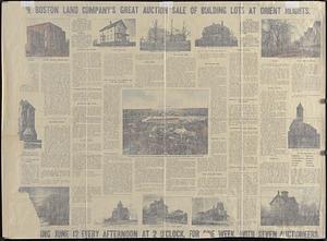
Descriptive text and views on the verso.
- Notes (exhibitions):
-
Exhibited: "City of Neighborhoods: The Changing Face of Boston" organized by the Norman B. Leventhal Map Center at the Boston Public Library, 2014.
- Identifier:
-
06_01_003889
- Call #:
-
G3764.B6:2O7G46 1894 .B67
- Barcode:
-
39999059002558


