Toggle navigation
LMEC Home
Exhibitions
Georeferencing
Tools for Teachers
Collections
My Favorites
Sign Up / Log In
Search
Search the map portal
Map Collection
Map Collection
Map Sets
Search
Search
Search for
Search In
All Fields
Creator
Title
Subject
Place
Search All Digital Collections
Advanced Search
8796 Results
My Search
Start Over
More Like
commonwealth:tt44pv711
Remove constraint More Like: commonwealth:tt44pv711
Filter your Search
Place
North and Central America
6,027
United States
4,945
Massachusetts
2,090
Europe
1,396
Suffolk (county)
1,147
Boston
1,120
Canada
449
Asia
438
more
Place
»
Topic
Boston (Mass.)--Maps
607
United States--Maps
282
Real property--Massachusetts--Boston--Maps
253
Landowners--Massachusetts--Boston--Maps
169
Massachusetts--Maps
162
City planning--Massachusetts--Boston--Maps
128
North America--Maps--Early works to 1800
103
New England--Maps
102
more
Topic
»
Date
Date range begin
–
Date range end
Current results range from
1482
to
2023
View distribution
Creator
United States. Hydrographic Office
595
O.H. Bailey & Co
148
Boston Redevelopment Authority
131
Des Barres, Joseph F. W. (Joseph Frederick Wallet), 1722-1824
123
United States. Post Office Dept
120
Ptolemy, 2nd cent
100
Walling, Henry Francis, 1825-1888
94
Geological Survey (U.S.)
86
more
Creator
»
Format
Maps/Atlases
8,736
Manuscripts
215
Prints
56
Books
36
Objects/Artifacts
10
Drawings/Illustrations
8
Posters
5
Georeferenced
Yes
870
No
7,926
Collection
Norman B. Leventhal Map & Education Center Collection
8,697
Boston and New England Maps
2,299
Urban Maps
2,088
Maritime Charts and Atlases
1,083
American Revolutionary War-Era Maps
616
Boston Redevelopment Authority Collection
151
Massachusetts Real Estate Atlases
35
Applied Geographics, Inc. Records
2
more
Collection
»
Available to use
No known restrictions
8,618
Creative Commons license
48
Search Constraints
Sort by relevance
relevance
title
date (asc)
date (desc)
Number of results to display per page
20 per page
10
per page
20
per page
50
per page
100
per page
View results as:
grid view
map view
Search Results
4601.
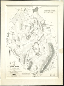
A map of the town of Sharon, Mass : formerly a part of Stoughton
4602.
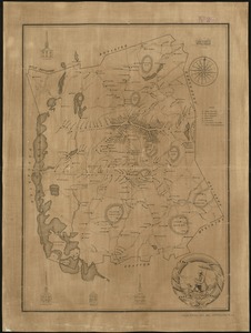
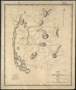
A Map of the town of Shrewsbury, Mass
4603.
A map of the Town of Shrewsbury, Mass
4604.
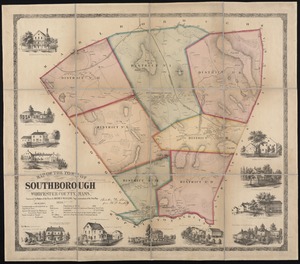
Map of the town of Southborough Worcester County, Mass : surveyed by order of the town
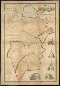
4605.
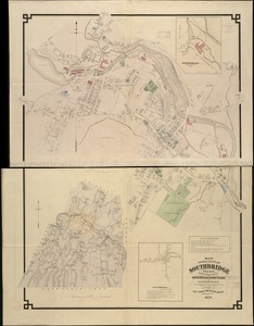
Map of the town of Southbridge, Mass : including detail plans of Southbridge, Globe village and Sandersdale from recent and...
4606.
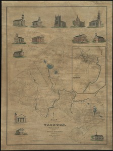
Map of the town of Taunton, with a view of the public buildings
4607.
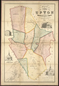
Map of the town of Upton, Worcester Co., Mass : surveyed by authority of the town
4608.
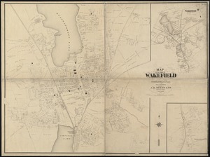
Map of the town of Wakefield Middlesex Co. Mass : from actual surveys
4609.
Map of the town of Walpole Norfolk County Mass : surveyed by authority of the town
4610.
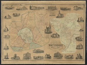
Map of the town of Waterbury, New Haven County, Connecticut
4611.
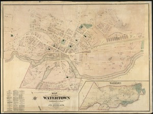
Map of the town of Watertown : Middlesex Co., Mass., from actual surveys
4612.
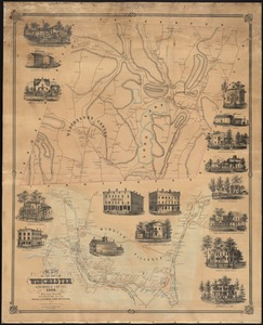
Map of the town of Winchester, Litchfield County, Conn
4613.
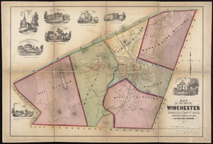
Map of the town of Winchester, Middlesex County, Mass : surveyed by order of the town
4614.
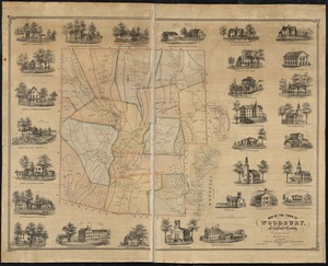
Map of the town of Woodbury, Litchfield County, Connecticut
4615.
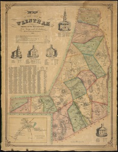
Map of the town of Wrentham : Norfolk County, Massachusetts
4616.
A map of the towns of Dorchester and Milton, 1831
4617.
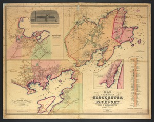
Map of the towns of Gloucester and Rockport, Essex Co., Massachusetts
4618.
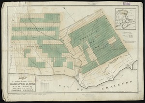
Map of the townships of Hamilton & Cox, Bay of Chaleurs, District of Caspé, Lower Canada
4619.
Map of the Troy & Greenfield Rail Road and its connections
4620.
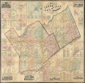
Map of the United Counties of Leeds and Grenville, Canada West
‹ Prev
Next ›
1
2
…
227
228
229
230
231
232
233
234
235
…
439
440