Search Constraints
Search Results

7341. Ruatan or Rattan

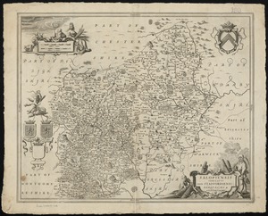
7342. Rumänien und Bulgarien


7344. Russell


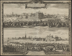
7349. Russia

7350. Russia in Europe


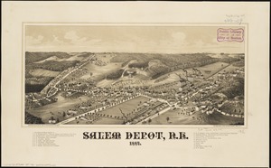
7353. Rutland, Vt
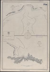
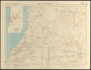
7356. Safi-Marrakech

7358. Saishin ōshū daichizu