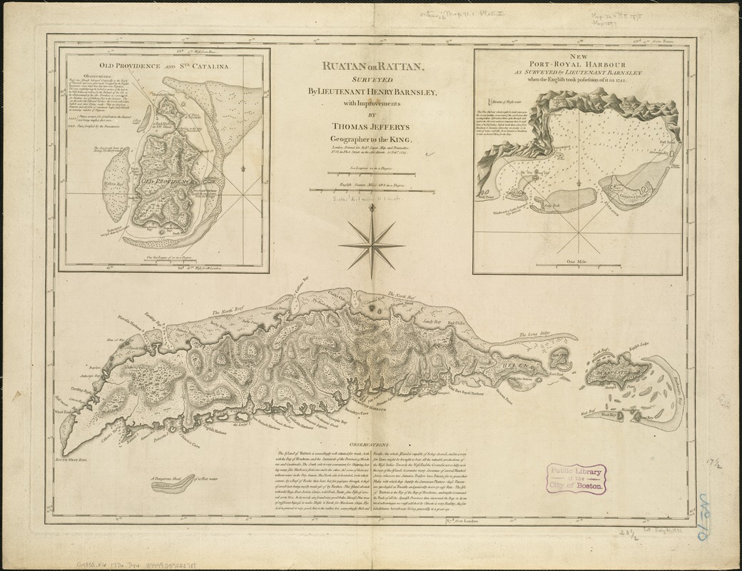
Ruatan or Rattan
This map is also available in American Revolutionary Geographies Online (ARGO), a collections portal especially built for material relating to the American Revolutionary War Era. Visit ARGO to learn more about this item and explore the historical geography of North America in the late eighteenth century.
Item Information
- Title:
- Ruatan or Rattan
- Creator:
- Jefferys, Thomas, d. 1771
- Name on Item:
-
surveyed by Lieutenant Henry Barnsley, with improvements by Thomas Jefferys.
- Date:
-
1775
- Format:
-
Maps/Atlases
- Location:
-
Boston Public Library
Norman B. Leventhal Map & Education Center - Collection (local):
-
Norman B. Leventhal Map & Education Center Collection
- Subjects:
-
Roatán Island (Honduras)--Maps--Early works to 1800
- Places:
-
HondurasIslas de la BahíaRoatán, Isla de (island)Bahía, Islas de la (area)
- Extent:
- 1 map ; 45 x 60 cm.
- Terms of Use:
-
No known copyright restrictions.
No known restrictions on use.
- Publisher:
-
London :
Printed for Robt. Sayer
- Scale:
-
Scale ca. 1:140,000.
- Language:
-
English
- Notes:
-
Relief shown by hachures. Depths shown by soundings.
Shows harbors, rocks and shoals, reefs, soundings, a few forts, vegetation, and relief.
Insets: "Old Providence and Sta. Catalina" and "New Port Royal Harbour."
Appears in author's West-India atlas. Plate 2.
Cataloging, conservation, and digitization made possible in part by The National Endowment for the Humanities: Exploring the human endeavor.
- Identifier:
-
06_01_006322
- Call #:
-
G4832.R6 1776 .J44x
- Barcode:
-
39999059022788


