Toggle navigation
LMEC Home
Exhibitions
Georeferencing
Tools for Teachers
Collections
My Favorites
Sign Up / Log In
Search
Search the map portal
Map Collection
Map Collection
Map Sets
Search
Search
Search for
Search In
All Fields
Creator
Title
Subject
Place
Search All Digital Collections
Advanced Search
143 Results
My Search
Start Over
More Like
commonwealth:sx61hm10z
Remove constraint More Like: commonwealth:sx61hm10z
Filter your Search
Place
North and Central America
126
Canada
125
United States
46
New France
28
Saint Lawrence River
16
Province of Manitoba
14
North America
12
Quebec
9
more
Place
»
Topic
Canada--Maps--Early works to 1800
79
United States--Maps--Early works to 1800
26
New France--Maps
24
Seven Years' War, 1756-1763--Campaigns--Canada--Maps
21
Manitoba--Maps
16
Saint Lawrence River--Maps
14
North America--Maps--Early works to 1800
11
Fortification--Québec (Province)
8
more
Topic
»
Date
Date range begin
–
Date range end
Current results range from
1618
to
1921
View distribution
Creator
Bellin, Jacques Nicolas, 1703-1772
15
Mackellar, Patrick, 1717-1778
7
Holland, Samuel, 1728-1801
6
Kitchin, Thomas, 1719-1784
5
Anville, Jean Baptiste Bourguignon d', 1697-1782
4
Bonne, Rigobert, 1727-1794
4
Montrésor, John, 1736-1799
4
Robert de Vaugondy, Gilles, 1688-1766
4
more
Creator
»
Format
Maps/Atlases
143
Manuscripts
3
Georeferenced
No
143
Collection
American Revolutionary War-Era Maps
120
Library and Archives Canada Collection
52
MacLean Collection Map Library
38
Norman B. Leventhal Map & Education Center Collection
38
Richard H. Brown Revolutionary War Map Collection at Mount Vernon
4
William L. Clements Library Collection
3
New York Public Library Collection
2
Newberry Library Collection
2
more
Collection
»
Available to use
No known restrictions
39
Creative Commons license
8
Search Constraints
Sort by relevance
relevance
title
date (asc)
date (desc)
Number of results to display per page
20 per page
10
per page
20
per page
50
per page
100
per page
View results as:
grid view
map view
Search Results
101.
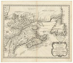
Partie orientale de la Nouvelle France ou du Canada
102.
Partie orientale de la Nouvelle France ou du Canada
103.
Partie orientale de la Nouvelle France ou du Canada
104.
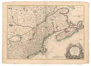
Partie orientale du Canada, avec la Nouvelle Angleterre, l'Acadie, et la Terre-Neuve
105.
Partie septentrionale des possessions angloise en Amerique
106.
Pas-caert van Terra Nova, Nova Francia, Nieuw-Engeland en de groote rivier van Canada
107.
Paskaerte Zÿnde de Noordelijckfte Zeekuften van America van Groenland door de Straet Davis en de Straet Hudson tot Terra Neuf
108.
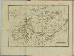
Sketch of the western countries of Canada
109.
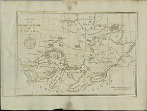
Sketch of the western countries of Canada
110.
Théatre de la guerre en Amerique, avec les Isles Antilles : projetté et assujettie aux observations
111.
Théatre de la guerre en Amerique, avec les Isles Antilles : projetté et assujettie aux observations
112.
Théatre de la guerre en Amerique, avec les Isles Antilles : projetté et assujettie aux observations
113.
The United States of America with the British possessions of Canada, Nova Scotia, New Brunswick and Newfoundland divided with...
114.
The United States of North America : with the British territories and those of Spain according to the treaty of 1784
115.
Die Vereinigten Staaten von Nord=America
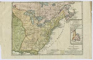
116.
Virginia et Nova Francia
117.
By order of His Excellency Guy Lord Dorchester... plan of part of the province of Lower Canada containing the country from the...
118.
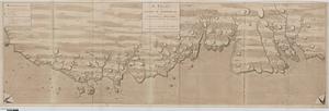
A chart of the sea-coast of Newfoundland between St. Laurence and Point May survey'd by order of Hugh Palliser esqr. commodore...
119.
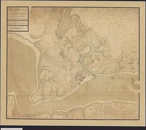
Fortifications on île aux Noix, Québec
120.
A general plan of Annapolis Royal
‹ Prev
Next ›
1
2
3
4
5
6
7
8