Toggle navigation
LMEC Home
Exhibitions
Georeferencing
Tools for Teachers
Collections
My Favorites
Sign Up / Log In
Search
Search the map portal
Map Collection
Map Collection
Map Sets
Search
Search
Search for
Search In
All Fields
Creator
Title
Subject
Place
Search All Digital Collections
Advanced Search
143 Results
My Search
Start Over
More Like
commonwealth:sx61hm10z
Remove constraint More Like: commonwealth:sx61hm10z
Filter your Search
Place
North and Central America
126
Canada
125
United States
46
New France
28
Saint Lawrence River
16
Province of Manitoba
14
North America
12
Quebec
9
more
Place
»
Topic
Canada--Maps--Early works to 1800
79
United States--Maps--Early works to 1800
26
New France--Maps
24
Seven Years' War, 1756-1763--Campaigns--Canada--Maps
21
Manitoba--Maps
16
Saint Lawrence River--Maps
14
North America--Maps--Early works to 1800
11
Fortification--Québec (Province)
8
more
Topic
»
Date
Date range begin
–
Date range end
Current results range from
1618
to
1921
View distribution
Creator
Bellin, Jacques Nicolas, 1703-1772
15
Mackellar, Patrick, 1717-1778
7
Holland, Samuel, 1728-1801
6
Kitchin, Thomas, 1719-1784
5
Anville, Jean Baptiste Bourguignon d', 1697-1782
4
Bonne, Rigobert, 1727-1794
4
Montrésor, John, 1736-1799
4
Robert de Vaugondy, Gilles, 1688-1766
4
more
Creator
»
Format
Maps/Atlases
143
Manuscripts
3
Georeferenced
No
143
Collection
American Revolutionary War-Era Maps
120
Library and Archives Canada Collection
52
MacLean Collection Map Library
38
Norman B. Leventhal Map & Education Center Collection
38
Richard H. Brown Revolutionary War Map Collection at Mount Vernon
4
William L. Clements Library Collection
3
New York Public Library Collection
2
Newberry Library Collection
2
more
Collection
»
Available to use
No known restrictions
39
Creative Commons license
8
Search Constraints
Sort by relevance
relevance
title
date (asc)
date (desc)
Number of results to display per page
20 per page
10
per page
20
per page
50
per page
100
per page
View results as:
grid view
map view
Search Results
41.
Map showing branches of chartered banks in Manitoba, Saskatchewan and Alberta
42.
Map showing elevators in Manitoba, Saskatchewan and Alberta
43.
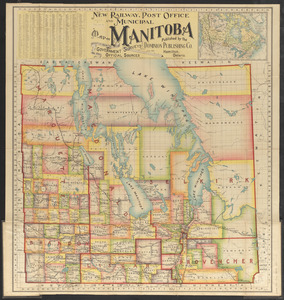
New railway, post office and municipal map of Manitoba : compiled from the latest government surveys and other official sources
44.
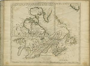
Posts of the Hudson's Bay Company 1790
45.
An accurate map of Canada, with the adjacent countries : exhibiting the late seat of war between the English & French in those...
46.
America
47.
British colonies in North America : drawn from the best authorities
48.
British dominions in America agreeable to the treaty of 1763 : divided into the several provinces, and jurisdictions
49.
British dominions in America, drawn from the latest and best authorities
50.
The British possessions in North America from the best authorities
51.
Canada Louisiane et terres angloises
52.
Canada Louisiane et terres angloises
53.
Le Canada, ou Nouvelle France, &c : ce qui est le plus advance vers le Septentrion est tiré de diverses relations des Anglois,...
54.
Carte de Canada, de la Nouvelle Ecosse et de l'Acadie : d'après les originaux Anglais
55.
Carte de la rivire du Cannada, la Terre Nevf, Cape Britton et la cotte de Lacadie
56.
Carte des lac du Canada pour servir à l'histoire philosophique & politique des etablissemens et du commerce des européens dans...
57.
Carte des nouvelles decouvertes dans l'ouest du Canada
58.
Carte des pays connus sous le nom de Canada dans laquelle sont distinguées les possessions françoises, & angl' : dediée et...
59.
Carte des possessions angloises & françoises du continent de l'Amerique Septentrionale
60.
Carte du Canada et de la Louisiane qui forment la Nouvelle France et des colonies angloises ou sont representez les pays...
‹ Prev
Next ›
1
2
3
4
5
6
7
8