Toggle navigation
LMEC Home
Exhibitions
Georeferencing
Tools for Teachers
Collections
My Favorites
Sign Up / Log In
Search
Search the map portal
Map Collection
Map Collection
Map Sets
Search
Search
Search for
Search In
All Fields
Creator
Title
Subject
Place
Search All Digital Collections
Advanced Search
8775 Results
My Search
Start Over
More Like
commonwealth:st74cx20p
Remove constraint More Like: commonwealth:st74cx20p
Filter your Search
Place
North and Central America
6,005
United States
4,913
Massachusetts
2,083
Europe
1,396
Suffolk (county)
1,046
Boston
1,019
Canada
460
Asia
438
more
Place
»
Topic
Boston (Mass.)--Maps
586
United States--Maps
282
Real property--Massachusetts--Boston--Maps
175
Massachusetts--Maps
162
Landowners--Massachusetts--Boston--Maps
133
North America--Maps--Early works to 1800
106
New England--Maps
102
New England--Maps--Early works to 1800
97
more
Topic
»
Date
Date range begin
–
Date range end
Current results range from
1482
to
2023
View distribution
Creator
United States. Hydrographic Office
595
O.H. Bailey & Co
148
Des Barres, Joseph F. W. (Joseph Frederick Wallet), 1722-1824
125
United States. Post Office Dept
120
Ptolemy, 2nd cent
100
Walling, Henry Francis, 1825-1888
94
Jefferys, Thomas, -1771
90
Geological Survey (U.S.)
86
more
Creator
»
Format
Maps/Atlases
8,715
Manuscripts
218
Prints
56
Books
36
Objects/Artifacts
10
Drawings/Illustrations
8
Posters
5
Georeferenced
Yes
875
No
7,900
Collection
Norman B. Leventhal Map & Education Center Collection
8,723
Boston and New England Maps
2,245
Urban Maps
2,023
Maritime Charts and Atlases
1,089
American Revolutionary War-Era Maps
664
Boston Redevelopment Authority Collection
87
Mapping Boston Collection
27
Sidney R. Knafel Map Collection at Phillips Academy
16
more
Collection
»
Available to use
No known restrictions
8,555
Creative Commons license
99
Search Constraints
Sort by relevance
relevance
title
date (asc)
date (desc)
Number of results to display per page
20 per page
10
per page
20
per page
50
per page
100
per page
View results as:
grid view
map view
Search Results
7341.
Seat of war in Tennesse and Georgia : 6D
7342.
The seat of war in the circle of Westphalia
7343.
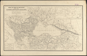
Seat of war in the east : map of Turkey and parts adjacent
7344.
Seat of war in the east
7345.
Seat of war in the east : map of Turkey and parts adjacent
7346.
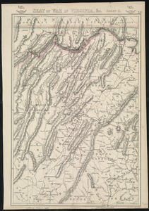
Seat of war in Virginia
7347.
Seat of war in Virginia and Maryland
7348.
Seat of war in Virginia, &c
7349.
The seat of war in ye North : or a map of the Baltick, with part of the North Sea ... posture of affaris
7350.
The seat of war in ye North : or a map of the Baltick, with part of the North Sea ... posture of affaris
7351.
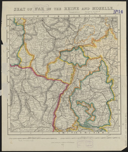
Seat of war on the Rhine and Moselle
7352.
The seat of war on the Rhine being a new map of the course of that river from Basil to Bonn with the adjacent countries
7353.
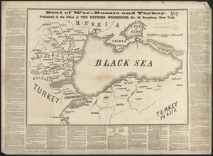
Seat of war--Russia and Turkey
7354.
Seat of war--Russia and Turkey
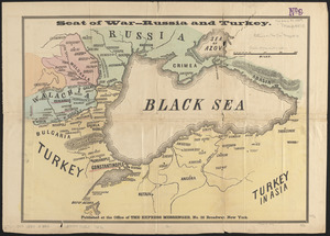
7355.
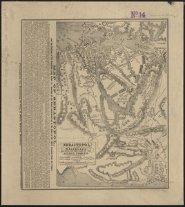
Sebastopol and Balaklava shewing the position of the allied forces
7356.
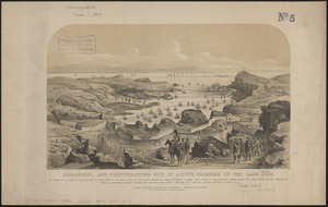
Sebastopol, and fortifications now in active progress on the land side
7357.
Second part of Asia : being China, part of India and Tartary, the islands of Sonda, Molucka, Philippin, Japan &c. ; performed...
7358.
The second section of the survey of 1819
7359.
Sect: Düsseldorf
7360.
Section 16: Chemnitz
‹ Prev
Next ›
1
2
…
364
365
366
367
368
369
370
371
372
…
438
439