Toggle navigation
LMEC Home
Exhibitions
Georeferencing
Tools for Teachers
Collections
My Favorites
Sign Up / Log In
Search
Search the map portal
Map Collection
Map Collection
Map Sets
Search
Search
Search for
Search In
All Fields
Creator
Title
Subject
Place
Search All Digital Collections
Advanced Search
8737 Results
My Search
Start Over
More Like
commonwealth:st74cw92q
Remove constraint More Like: commonwealth:st74cw92q
Filter your Search
Place
North and Central America
5,968
United States
4,866
Massachusetts
2,079
Europe
1,396
Suffolk (county)
1,046
Boston
1,019
Canada
450
Asia
438
more
Place
»
Topic
Boston (Mass.)--Maps
586
United States--Maps
282
Real property--Massachusetts--Boston--Maps
175
Massachusetts--Maps
162
Landowners--Massachusetts--Boston--Maps
133
North America--Maps--Early works to 1800
105
New England--Maps
102
Europe--Maps
79
more
Topic
»
Date
Date range begin
–
Date range end
Current results range from
1482
to
2023
View distribution
Creator
United States. Hydrographic Office
595
O.H. Bailey & Co
148
Des Barres, Joseph F. W. (Joseph Frederick Wallet), 1722-1824
126
United States. Post Office Dept
120
Ptolemy, 2nd cent
100
Walling, Henry Francis, 1825-1888
94
Jefferys, Thomas, -1771
90
Geological Survey (U.S.)
86
more
Creator
»
Format
Maps/Atlases
8,677
Manuscripts
220
Prints
56
Books
36
Objects/Artifacts
10
Drawings/Illustrations
8
Posters
5
Georeferenced
Yes
871
No
7,866
Collection
Norman B. Leventhal Map & Education Center Collection
8,695
Boston and New England Maps
2,233
Urban Maps
2,023
Maritime Charts and Atlases
1,088
American Revolutionary War-Era Maps
657
Boston Redevelopment Authority Collection
87
MacLean Collection Map Library
17
Richard H. Brown Revolutionary War Map Collection at Mount Vernon
9
more
Collection
»
Available to use
No known restrictions
8,554
Creative Commons license
70
Search Constraints
Sort by relevance
relevance
title
date (asc)
date (desc)
Number of results to display per page
20 per page
10
per page
20
per page
50
per page
100
per page
View results as:
grid view
map view
Search Results
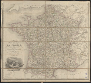
1341.
Carte routière de la France, dressée spécialement pour tous les guides du voyageur
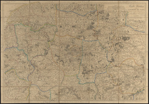
1342.
Carte routière des environs de Paris, divisés par departemens, arrondissemens communaux et cantons
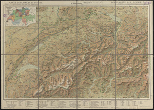
1343.
Carte scolaire de la Suisse
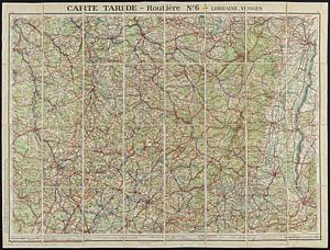
1344.
Carte Taride - routière no. 6 - Lorraine, Vosges
1345.
Carte topographique du Diocese de Sens divisé en ses cinq Archidiaconés et ses douze Doyennés
1346.
Carte touristique du Liban = Kharitat Lubnan almusawarat lilsiyaha
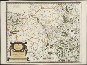
1347.
Carte von dem Hafen und der Stadt Boston : mit den umliegenden Gegenden und der Lägern sowohl der Americaner als auch des...
1348.
Cartes-guides Campbell Provence
1349.
Cartes-guides Campbell Touraine, Orléanais, Anjou
1350.
Casablanca
1351.
Cascade National Forest, Oregon
1352.
Case's map of the United States, the British provinces, Mexico, and part of the West Indies : compiled from the latest...
1353.
Castleton, Vt : 1889
1354.
Castra Suedica ad Haffniam : figi cæpta d. 29. Octobr. An. 1658. et soluta d. 27. May An. 1660. quibus Haffnia Metropolis Daniæ...
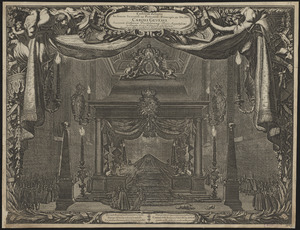
1355.
Castrum doloris in funere sereniss: ac potentiss: principis ac Dn: Dn: Caroli Gustavi, Suecorum, Gothorum, Vandalorumq: regis...
1356.
Catalauni : evesché de Chalons sur Marne, et en Champagne
1357.
Catholic America : a pictorial map portraying the contribution of Catholics in the development of the United States of America...
1358.
The Catholic Netherlands, divided into their several provinces with the roads
1359.
Cattalina Harbor
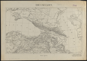
1360.
The Caucasus
‹ Prev
Next ›
1
2
…
64
65
66
67
68
69
70
71
72
…
436
437