Search Constraints
Search Results

7741. State of Idaho

7742. State of Illinois

7743. State of Illinois

7744. State of Illinois


7746. State of Indiana

7747. State of Indiana

7749. State of Iowa

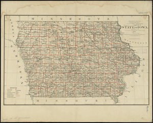
7750. State of Iowa

7751. State of Kansas

7752. State of Kansas


7755. State of Louisiana


7757. State of Maine


