Toggle navigation
LMEC Home
Exhibitions
Georeferencing
Tools for Teachers
Collections
My Favorites
Sign Up / Log In
Search
Search the map portal
Map Collection
Map Collection
Map Sets
Search
Search
Search for
Search In
All Fields
Creator
Title
Subject
Place
Search All Digital Collections
Advanced Search
8773 Results
My Search
Start Over
More Like
commonwealth:qj72rq70n
Remove constraint More Like: commonwealth:qj72rq70n
Filter your Search
Place
North and Central America
6,004
United States
4,922
Massachusetts
2,088
Europe
1,396
Suffolk (county)
1,124
Boston
1,097
Canada
449
Asia
438
more
Place
»
Topic
Boston (Mass.)--Maps
606
United States--Maps
282
Real property--Massachusetts--Boston--Maps
253
Landowners--Massachusetts--Boston--Maps
170
Massachusetts--Maps
162
City planning--Massachusetts--Boston--Maps
108
North America--Maps--Early works to 1800
103
New England--Maps
102
more
Topic
»
Date
Date range begin
–
Date range end
Current results range from
1482
to
2023
View distribution
Creator
United States. Hydrographic Office
595
O.H. Bailey & Co
148
Des Barres, Joseph F. W. (Joseph Frederick Wallet), 1722-1824
123
United States. Post Office Dept
120
Boston Redevelopment Authority
110
Ptolemy, 2nd cent
100
Walling, Henry Francis, 1825-1888
94
Geological Survey (U.S.)
86
more
Creator
»
Format
Maps/Atlases
8,713
Manuscripts
215
Prints
56
Books
36
Objects/Artifacts
10
Drawings/Illustrations
8
Posters
5
Georeferenced
Yes
869
No
7,904
Collection
Norman B. Leventhal Map & Education Center Collection
8,695
Boston and New England Maps
2,276
Urban Maps
2,066
Maritime Charts and Atlases
1,083
American Revolutionary War-Era Maps
616
Boston Redevelopment Authority Collection
129
Massachusetts Real Estate Atlases
35
Applied Geographics, Inc. Records
1
Available to use
No known restrictions
8,596
Creative Commons license
47
Search Constraints
Sort by relevance
relevance
title
date (asc)
date (desc)
Number of results to display per page
20 per page
10
per page
20
per page
50
per page
100
per page
View results as:
grid view
map view
Search Results
3001.
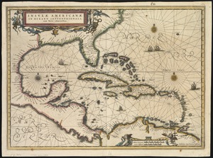
Insulae Americanae in Oceano Septentrionali cum terris adiacentibus
3002.
Insulae Americanae in Oceano Septentrionali, cum terris adiacentibus
3003.
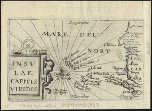
Insulae Capitis Viridis
3004.
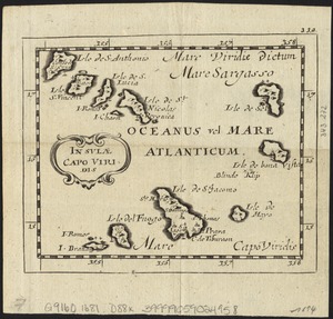
Insulae Capo Viridis
3005.
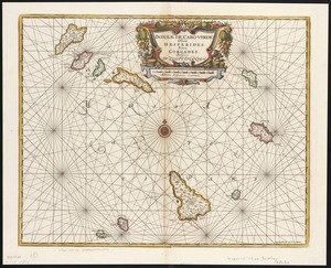
Insulae de Cabo Verde, Olim Hesperides, sive Gorgades : Belgice de zoute eylanden
3006.
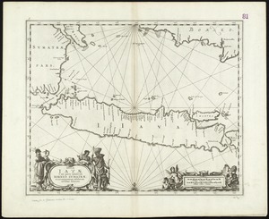
Insulae Iavae, cum parte insularum Borneo Sumatrae, et circumjacentum insularum novissima delineatio
3007.
Insulae Promontorii Viridis, Hispanis, Issas Cabo Verde, Belgis, De Soute Eylanden
3008.
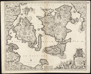
Insularum Danicarum ut Zee-landiae, Fioniae, Langelandiae, Lalandiae, Falstriae, Fembriae, Monae aliarumque in Mari Balthico...
3009.
Insularum Japonicarum : tabulae geographicae secundum opus = Nippon jo tsi ro tei sen tsu
3010.
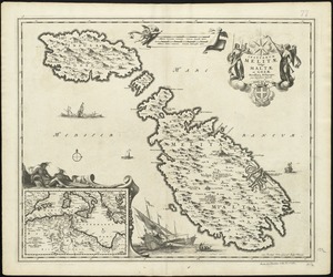
Insularum Melitae vulgo Maltae et Gozae
3011.
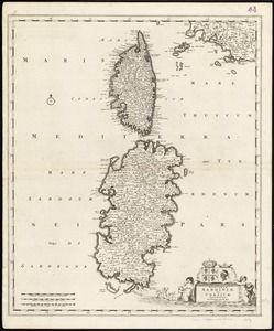
Insularum Sardiniae et Corsicae
3012.
Insurance map of Boston vol. 3 (South & East Boston)
3013.
Insurance map of Chicago, 1868-9
3014.
Insurance maps of Boston volume 4 : comprising portions of Charlestown, East Cambridge, Cambridge Port, Old Cambridge & Somerville
3015.
Insurance maps of Boston volume one
3016.
Insurance maps of Boston volume two
3017.
Insurance maps of Gloucester, Massachusetts
3018.
Insurance maps of Malden, Middlesex Co., Massachusetts
3019.
Insurance maps of the city of New York
3020.
Insurance maps of Ware, Hampshire County, Massachusetts
‹ Prev
Next ›
1
2
…
147
148
149
150
151
152
153
154
155
…
438
439