Toggle navigation
LMEC Home
Exhibitions
Georeferencing
Tools for Teachers
Collections
My Favorites
Sign Up / Log In
Search
Search the map portal
Map Collection
Map Collection
Map Sets
Search
Search
Search for
Search In
All Fields
Creator
Title
Subject
Place
Search All Digital Collections
Advanced Search
506 Results
My Search
Start Over
More Like
commonwealth:q524nk777
Remove constraint More Like: commonwealth:q524nk777
Filter your Search
Place
North and Central America
445
United States
313
New York
58
Canada
21
Florida
19
Alabama
15
Chatham (county)
15
Savannah
13
more
Place
»
Topic
Manuscript maps--Early works to 1800
92
Manuscript maps
21
New York (State)--Maps, Manuscript--Early works to 1800
14
Gulf Coast (U.S.)--Maps, Manuscript--Early works to 1800
12
Fortification--New York (State)--New York--Maps--Early works to 1800
11
New York (N.Y.)--Buildings, structures, etc--Maps, Manuscript--Early works to 1800
9
New York (N.Y.)--Pictorial works--Early works to 1800
9
United States--History--French and Indian War, 1754-1763--Maps, Manuscript--Early works to 1800
9
more
Topic
»
Date
Date range begin
–
Date range end
Current results range from
1700
to
1899
View distribution
Creator
Hills, John, (Surveyor)
18
Montrésor, John, 1736-1799
16
George, III, King of Great Britain, 1738-1820
13
George, IV, King of Great Britain, 1762-1830
13
Bingham, William, 1752-1804
12
Adlum, John, 1759-1836
10
Washington, George, 1732-1799
9
Faden, William, 1749-1836
7
more
Creator
»
Format
Maps/Atlases
498
Manuscripts
489
Prints
7
Objects/Artifacts
2
Georeferenced
Yes
5
No
501
Collection
American Revolutionary War-Era Maps
502
Library of Congress Collection
480
Maritime Charts and Atlases
32
British Library Collection
16
Urban Maps
15
Richard H. Brown Revolutionary War Map Collection at Mount Vernon
9
Boston and New England Maps
4
Norman B. Leventhal Map & Education Center Collection
1
Available to use
Creative Commons license
505
No known restrictions
1
Search Constraints
Sort by relevance
relevance
title
date (asc)
date (desc)
Number of results to display per page
20 per page
10
per page
20
per page
50
per page
100
per page
View results as:
grid view
map view
Search Results
401.
Plano geométrico de la rada y carenero de San Jorge en la costa occidl. de la ysla de la Granada
402.
Plano geométrico de las ensenadas de Añasco y Mayagües en la costa occidental de la ysla de Puerto Rico
403.
Plano geométrico del puerto principal de San Tomas en la costa meridional de la ya. del mismo nombre ; Plano geométrico del...
404.
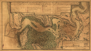
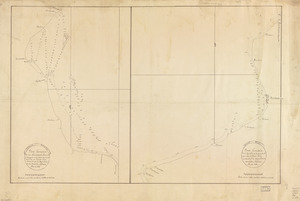
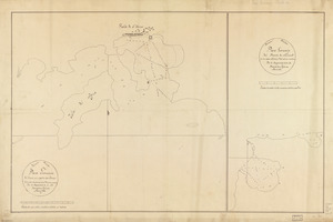
Plano. I descripcion de la costa, desde el Cavo Cañaveral, hasta cerca de la boca de la Vir[g]inia : contando, costa de...
405.
Plano numero 1. de la barra, y Rio de San Juan desde su entrada hasta dos millas mas arriba del paso de San Nicolas,...
406.
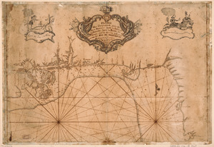
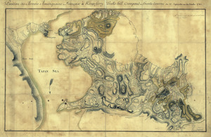
Plano que comprehende parte del Seno Mexicano desde la Bahia de la Asencion hasta la Bahia de Tampa : con las sondas y...
407.
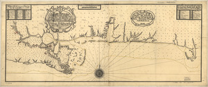
Plano y costa de la Palisada o de Misipipi zituada, su entrada o Cabo de Lodo en 29 gs. 17 ms. de lattud. norte y en longd. de...
408.
Plat of a survey for William Hughes, Jr. of 460 acres in Frederick County, Va. on the Cacapon River
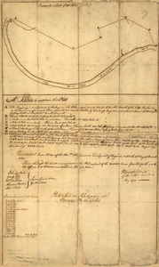
409.
Plat of a survey of 2,314 acres of land, being the first large bottom on the east side of the Ohio River : 3 or 4 miles below...
410.
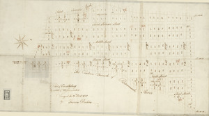
Plat of Carrollsburg
411.
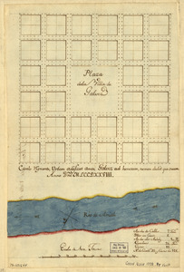
Plaza de la villa de Galvez
412.
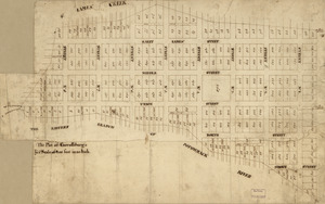
The plot of Carroll'sburgh : [part of Washington D.C.]
413.
Portion of a map of Feliciana District, Spanish Louisiana, from the Lac de la Croix to Thompson's Creek
414.
Portsmouth, New Hampshire
415.
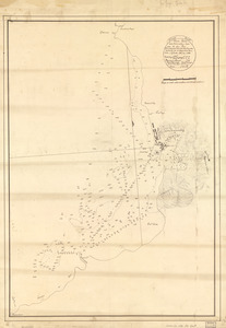
Position de notre camp le 24 juin 1777 à Perth Amboy
416.
Position des Armées amériquaine et françoise à Kings-ferry, Peaks-hill, Crompond et Hunts-taverne : du 17. septembre au 20...
417.
Position du camp de l'armée combinée a Philipsburg du 6 juillet au 19 aoust
418.
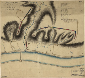
Position of the army on the 8th Octbr. 1777
419.
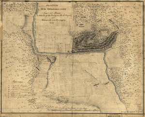
Position of the detachment under Lieut't Col. Baum & attacks of the enemy on the 16th August at Walmscock near Benington, 1777
420.
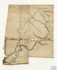
Potomack
‹ Prev
Next ›
1
2
…
17
18
19
20
21
22
23
24
25
26
![Plano. I descripcion de la costa, desde el Cavo Cañaveral, hasta cerca de la boca de la Vir[g]inia](https://bpldcassets.blob.core.windows.net/derivatives/images/commonwealth:q524nf34m/image_thumbnail_300.jpg)