Toggle navigation
LMEC Home
Exhibitions
Georeferencing
Tools for Teachers
Collections
My Favorites
Sign Up / Log In
Search
Search the map portal
Map Collection
Map Collection
Map Sets
Search
Search
Search for
Search In
All Fields
Creator
Title
Subject
Place
Search All Digital Collections
Advanced Search
506 Results
My Search
Start Over
More Like
commonwealth:q524nk777
Remove constraint More Like: commonwealth:q524nk777
Filter your Search
Place
North and Central America
445
United States
313
New York
58
Canada
21
Florida
19
Alabama
15
Chatham (county)
15
Savannah
13
more
Place
»
Topic
Manuscript maps--Early works to 1800
92
Manuscript maps
21
New York (State)--Maps, Manuscript--Early works to 1800
14
Gulf Coast (U.S.)--Maps, Manuscript--Early works to 1800
12
Fortification--New York (State)--New York--Maps--Early works to 1800
11
New York (N.Y.)--Buildings, structures, etc--Maps, Manuscript--Early works to 1800
9
New York (N.Y.)--Pictorial works--Early works to 1800
9
United States--History--French and Indian War, 1754-1763--Maps, Manuscript--Early works to 1800
9
more
Topic
»
Date
Date range begin
–
Date range end
Current results range from
1700
to
1899
View distribution
Creator
Hills, John, (Surveyor)
18
Montrésor, John, 1736-1799
16
George, III, King of Great Britain, 1738-1820
13
George, IV, King of Great Britain, 1762-1830
13
Bingham, William, 1752-1804
12
Adlum, John, 1759-1836
10
Washington, George, 1732-1799
9
Faden, William, 1749-1836
7
more
Creator
»
Format
Maps/Atlases
498
Manuscripts
489
Prints
7
Objects/Artifacts
2
Georeferenced
Yes
5
No
501
Collection
American Revolutionary War-Era Maps
502
Library of Congress Collection
480
Maritime Charts and Atlases
32
British Library Collection
16
Urban Maps
15
Richard H. Brown Revolutionary War Map Collection at Mount Vernon
9
Boston and New England Maps
4
Norman B. Leventhal Map & Education Center Collection
1
Available to use
Creative Commons license
505
No known restrictions
1
Search Constraints
Sort by relevance
relevance
title
date (asc)
date (desc)
Number of results to display per page
20 per page
10
per page
20
per page
50
per page
100
per page
View results as:
grid view
map view
Search Results
261.
Plan of a rout undertaken in winter, Jany. 26th : from Quebec, the capital of Canada, to the frontier settlements of the...
262.
A plan of a survey made to explore the country for a road between Connecticut River & St. Francis
263.
A Plan of Albany, as it was in the year 1758
264.
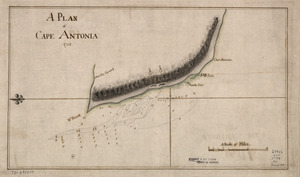
A Plan of Cape Antonia
265.
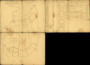
Plan of Carillon ou [sic] Ticonderoga : which was quitted by the Americaines in the night from the 5th to the 6th of July 1777
266.
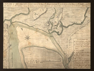
A plan of Chignecto (called also by the French Beau-Bassin) at the head of the Bay of Fundi upon the Istmus of Accadia shewing...
267.
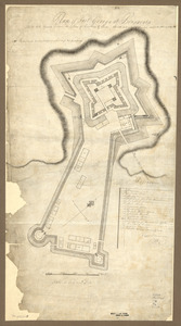
Plan of Fort George and adjacent works at Pensacola in West Florida
268.
Plan of Fort George at Pensacola
269.
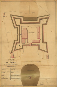
A plan of Fort George at the city of New-York
270.
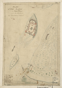
Plan of Fort Mifflin on Mud Island, with the batteries on Province Island
271.
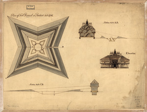
Plan of Fort Pownal at Penobscot built 1759
272.
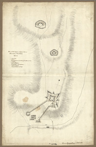
Plan of Fort William Henry and camp at Lake George
273.
Plan of Genl Du Portail : Plan of the position of Valley Forge after Jany. 1778
274.
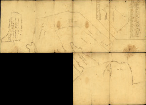
Plan of Governor's, Kennedy's, and Brown's Islan[ds] and Red Hook together with part of the Bay and soundings : shewing the...
275.
A plan of Mr. Clifton's neck land platted by a scale of 50 poles to the inch : recto
276.
A plan of Mr. Clifton's neck land platted by a scale of 50 poles to the inch : verso
277.
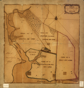
A plan of my farm on Little Huntg. Creek & Potomk. R
278.
Plan of New York and Staten Islands with part of Long Island
279.
Plan of New York and Staten Islands with part of Long Island, survey'd in the years 1781, & 82
280.
Plan of part of the city of Washington : on which is shewn the squares, lots, &c., divided between William Prout Esq'r and the...
‹ Prev
Next ›
1
2
…
10
11
12
13
14
15
16
17
18
…
25
26


![Plan of Carillon ou [sic] Ticonderoga](https://bpldcassets.blob.core.windows.net/derivatives/images/commonwealth:q524nk513/image_thumbnail_300.jpg)
![Plan of Governor's, Kennedy's, and Brown's Islan[ds] and Red Hook together with part of the Bay and soundings](https://bpldcassets.blob.core.windows.net/derivatives/images/commonwealth:q524nj614/image_thumbnail_300.jpg)