Toggle navigation
LMEC Home
Exhibitions
Georeferencing
Tools for Teachers
Collections
My Favorites
Sign Up / Log In
Search
Search the map portal
Map Collection
Map Collection
Map Sets
Search
Search
Search for
Search In
All Fields
Creator
Title
Subject
Place
Search All Digital Collections
Advanced Search
527 Results
My Search
Start Over
More Like
commonwealth:q524ng442
Remove constraint More Like: commonwealth:q524ng442
Filter your Search
Place
North and Central America
459
United States
323
New York
41
Canada
26
Florida
20
Mississippi
18
Alabama
17
Chatham (county)
16
more
Place
»
Topic
Manuscript maps--Early works to 1800
138
Manuscript maps
21
Gulf Coast (U.S.)--Maps, Manuscript--Early works to 1800
12
Fortification--New York (State)--New York--Maps--Early works to 1800
11
New York (N.Y.)--Buildings, structures, etc--Maps, Manuscript--Early works to 1800
9
New York (N.Y.)--Maps, Manuscript--Early works to 1800
8
Saratoga Campaign, N.Y., 1777--Maps, Manuscript--Early works to 1800
8
Coasts--Florida--Maps--Early works to 1800
7
more
Topic
»
Date
Date range begin
–
Date range end
Current results range from
1700
to
1899
View distribution
Creator
Hills, John, (Surveyor)
18
Montrésor, John, 1736-1799
16
Dumont de Montigny
14
Bingham, William, 1752-1804
11
Adlum, John, 1759-1836
9
Washington, George, 1732-1799
9
Faden, William, 1749-1836
7
Morgan, Benjamin, (Draftsman)
7
more
Creator
»
Format
Maps/Atlases
525
Manuscripts
522
Objects/Artifacts
2
Georeferenced
Yes
6
No
521
Collection
American Revolutionary War-Era Maps
522
Library of Congress Collection
485
Newberry Library Collection
39
Maritime Charts and Atlases
32
Urban Maps
17
Boston and New England Maps
4
Norman B. Leventhal Map Center Collection
3
Available to use
Creative Commons license
485
No known restrictions
3
Search Constraints
Sort by date (asc)
relevance
title
date (asc)
date (desc)
Number of results to display per page
20 per page
10
per page
20
per page
50
per page
100
per page
View results as:
grid view
map view
Search Results
121.
Plan of Governor's, Kennedy's, and Brown's Islan[ds] and Red Hook together with part of the Bay and soundings : shewing the...
122.
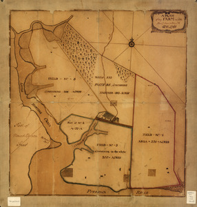
A plan of my farm on Little Huntg. Creek & Potomk. R
123.
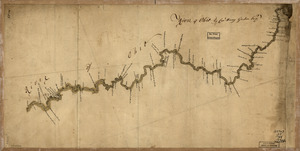
River of Ohio
124.
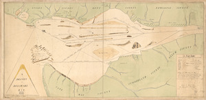
Cantonment of His Majesty's forces in N. America : according to the disposition now made & to be compleated as soon as...
125.
Map showing the west shore of the North or Hudson River
126.
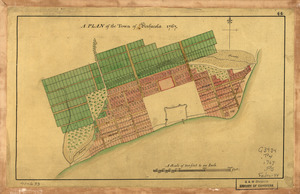
A Plan of the town of Pensacola, 1767
127.
Plano de la Bahía de Ocoa situado en la banda del sur de la Ysla Española
128.
Carte de la coste de la province de la Louisiane et des bouches du Micissipy ou fleuve St. Louis
129.
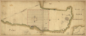
Crown Point & part of Lake Champlain
130.
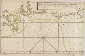
Descripción de la costa de la Luciana y entrada en el Río de Micisipi con sus sondas y bajos, nuebamente correjido y...
131.
Lines run in the Jersies for determining boundaries between that Province & New York
132.
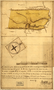
Map of the county of Frederick, 1769
133.
A map with part of the Florida coast from Cape Blaise to Apalachie : with the boundaries betwixt East & West Floridas, 160...
134.
Mapa, que comprende la Frontera, de los Dominios del Rey, en la America Septentrional
135.
New York & New Jersey commissioners line from 41⁰ on Hudson's River taken in 1769
136.
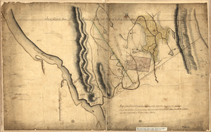
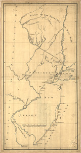
Three maps [i.e. map on 3 sheets] of northern New Jersey, with reference to the boundary between New York and New Jersey
137.
Boston Harbor, Massachusetts
138.
[Boston Harbour, with the surroundings, &c]
139.
A draught of Delaware Bay
140.
Map of that part of Orange County lying to the north of the mountains of the highlands : shewing that Chester is a much more...
‹ Prev
Next ›
1
2
3
4
5
6
7
8
9
10
11
…
26
27
![Plan of Governor's, Kennedy's, and Brown's Islan[ds] and Red Hook together with part of the Bay and soundings](https://bpldcassets.blob.core.windows.net/derivatives/images/commonwealth:q524nj614/image_thumbnail_300.jpg)


![Three maps [i.e. map on 3 sheets] of northern New Jersey, with reference to the boundary between New York and New Jersey](https://bpldcassets.blob.core.windows.net/derivatives/images/commonwealth:q524nk04q/image_thumbnail_300.jpg)

![[Boston Harbour, with the surroundings, &c]](https://bpldcassets.blob.core.windows.net/derivatives/images/commonwealth:t722hs94d/image_thumbnail_300.jpg)