Toggle navigation
LMEC Home
Exhibitions
Georeferencing
Tools for Teachers
Collections
My Favorites
Sign Up / Log In
Search
Search the map portal
Map Collection
Map Collection
Map Sets
Search
Search
Search for
Search In
All Fields
Creator
Title
Subject
Place
Search All Digital Collections
Advanced Search
102 Results
My Search
Start Over
More Like
commonwealth:q524n610k
Remove constraint More Like: commonwealth:q524n610k
Filter your Search
Place
North and Central America
90
United States
84
Adams (county)
8
World
8
Gettysburg National Military Park
6
Rockland (county)
6
Fort Clinton
4
Fort Montgomery
4
more
Place
»
Topic
Manuscript maps
84
World maps
7
Gettysburg (Pa.)--Maps
3
Gettysburg, Battle of, Gettysburg, Pa., 1863
3
Gettysburg, Battle of, Gettysburg, Pa., 1863--Maps
3
United States--History--Civil War, 1861-1865
3
Fort Montgomery, N.Y--History--Revolution, 1775-1783--Maps--Early works to 1800
2
Fort Montgomery, N.Y--Maps--Early works to 1800
2
more
Topic
»
Date
Date range begin
–
Date range end
Current results range from
1483
to
1943
View distribution
Creator
Pintado, Vicente Sebastián, 1774-1829
6
Bachelder, John B. (John Badger), 1825-1894
4
Bien, Julius, 1826-1909
3
Brady, Mathew B., approximately 1823-1896
3
Endicott & Co. (New York, N.Y.)
3
Neumann, Louis E.
3
Bingham, William, 1752-1804
2
O'Sullivan, Timothy H., 1840-1882
2
more
Creator
»
Format
Maps/Atlases
97
Manuscripts
85
Photographs
3
Books
1
Documents
1
Georeferenced
Yes
1
No
101
Collection
Norman B. Leventhal Map Center Collection
80
American Revolutionary War-Era Maps
25
Library of Congress Collection
22
Boston and New England Maps
9
Maritime Charts and Atlases
2
Urban Maps
1
Available to use
No known restrictions
76
Creative Commons license
25
Search Constraints
Sort by date (asc)
relevance
title
date (asc)
date (desc)
Number of results to display per page
20 per page
10
per page
20
per page
50
per page
100
per page
View results as:
grid view
map view
Search Results
1.
Unsigned and untitled T-O world map
2.
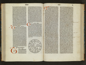
Circular world map
3.
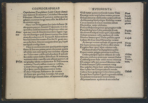
Cosmographiae introductio
4.
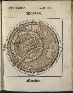
Small circular world map
5.
Portolan atlas
6.
The south part of New England as it planted this yeare, 1634
7.
A map of New-England, being the first that ever was here cut, and done by the best pattern that could be had, which being in...
8.
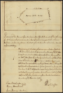
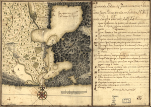
Survey of land for Richard Stephenson in Frederick County; attested by Robert Worthington, Henry Bradshaw and Lewis Thomas : recto
9.
Plano de la Baía de Guantánamo, en la ysla de Cuva, cuya boca se alla en latitud N. 20 gs. y en la longitd. de Thenerife 301...
10.
Plan of the Isle aux Noix, in the River Richelieu, and Province of Canada
11.
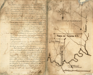
Survey plat of land grants on Caps River, Saint Domingue
12.
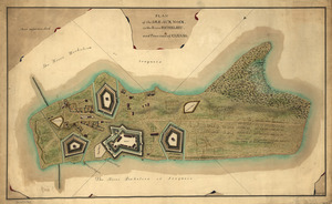
A general & particular plan of the island of Castle William near Boston : shewing the works in their original & present state,...
13.
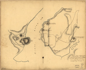
Sketch of Forts Clinton & Montgomery : stormed the 6th Octob. 1777 by the troops under the command of Sir Henry Clinton, K.B.,...
14.
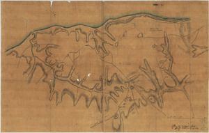
Map of American camp in New Jersey and surrounding countryside
15.
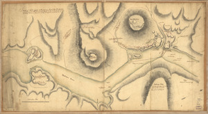
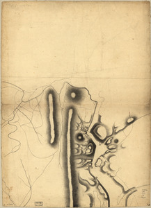
Part of a map of the Hudson Highlands showing Forts Clinton and Montgomery
16.
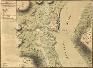
A plan of the Forts Montgomery & Clinton : as taken by His Majesty's forces under the command of Genl. Sr. Henry Clinton the...
17.
Map of Stony and Verplanck Points on the Hudson River as fortified by Sir Henry Clinton June 1779
18.
Sketch of Stoney & Verplank's Points upon the North River : as taken possession of, and fortified by His Excellency Sir H:...
19.
Sketch of the harbour of Charles Town
20.
Plan des ouvrages faits à York-town en Virginie
‹ Prev
Next ›
1
2
3
4
5
6