Toggle navigation
LMEC Home
Exhibitions
Georeferencing
Tools for Teachers
Collections
My Favorites
Sign Up / Log In
Search
Search the map portal
Map Collection
Map Collection
Map Sets
Search
Search
Search for
Search In
All Fields
Creator
Title
Subject
Place
Search All Digital Collections
Advanced Search
8834 Results
My Search
Start Over
More Like
commonwealth:q524n4572
Remove constraint More Like: commonwealth:q524n4572
Filter your Search
Place
North and Central America
6,009
United States
4,859
Massachusetts
2,079
Europe
1,396
Suffolk (county)
1,046
Boston
1,019
Canada
454
Asia
441
more
Place
»
Topic
Boston (Mass.)--Maps
586
United States--Maps
282
North America--Maps--Early works to 1800
240
Real property--Massachusetts--Boston--Maps
175
Massachusetts--Maps
162
Landowners--Massachusetts--Boston--Maps
133
New England--Maps
102
Europe--Maps
79
more
Topic
»
Date
Date range begin
–
Date range end
Current results range from
1482
to
2023
View distribution
Creator
United States. Hydrographic Office
595
O.H. Bailey & Co
148
Des Barres, Joseph F. W. (Joseph Frederick Wallet), 1722-1824
123
United States. Post Office Dept
120
Ptolemy, 2nd cent
100
Walling, Henry Francis, 1825-1888
94
Jefferys, Thomas, -1771
91
Sayer, Robert, 1725-1794
87
more
Creator
»
Format
Maps/Atlases
8,774
Manuscripts
217
Prints
56
Books
36
Objects/Artifacts
10
Drawings/Illustrations
8
Posters
5
Georeferenced
Yes
872
No
7,962
Collection
Norman B. Leventhal Map & Education Center Collection
8,704
Boston and New England Maps
2,234
Urban Maps
2,023
Maritime Charts and Atlases
1,083
American Revolutionary War-Era Maps
739
Boston Redevelopment Authority Collection
87
MacLean Collection Map Library
59
New York Public Library Collection
32
more
Collection
»
Available to use
No known restrictions
8,556
Creative Commons license
111
Search Constraints
Sort by relevance
relevance
title
date (asc)
date (desc)
Number of results to display per page
20 per page
10
per page
20
per page
50
per page
100
per page
View results as:
grid view
map view
Search Results
3621.
Map of Boston Common : with surrounding streets & adjacent parts of Beacon Hill
3622.
Map of Boston Common and Public Garden
3623.
Map of Boston, comprising the whole city, with the new boundaries of the wards
3624.
A map of Boston, county of Suffolk and the adjacent towns
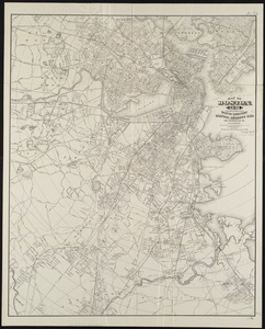
3625.
Map of Boston for 1874
3626.
Map of Boston, for 1874
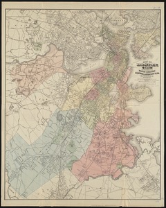
3627.
Map of Boston, for 1875
3628.
Map of Boston, for 1876
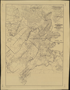
3629.
Map of Boston, for 1877
3630.
Map of Boston, for 1878
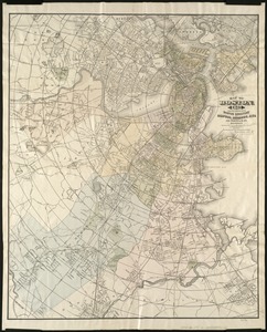
3631.
Map of Boston, for 1879
3632.
Map of Boston for 1880
3633.
Map of Boston, for 1881
3634.
Map of Boston, for 1881
3635.
Map of Boston, for 1882
3636.
Map of Boston, for 1883
3637.
Map of Boston, for 1883
3638.
Map of Boston, for 1884
3639.
Map of Boston, for 1885
3640.
Map of Boston, for 1886
‹ Prev
Next ›
1
2
…
178
179
180
181
182
183
184
185
186
…
441
442