Toggle navigation
LMEC Home
Exhibitions
Georeferencing
Tools for Teachers
Collections
My Favorites
Sign Up / Log In
Search
Search the map portal
Map Collection
Map Collection
Map Sets
Search
Search
Search for
Search In
All Fields
Creator
Title
Subject
Place
Search All Digital Collections
Advanced Search
8834 Results
My Search
Start Over
More Like
commonwealth:q524n4547
Remove constraint More Like: commonwealth:q524n4547
Filter your Search
Place
North and Central America
6,010
United States
4,860
Massachusetts
2,079
Europe
1,396
Suffolk (county)
1,046
Boston
1,019
Canada
454
Asia
441
more
Place
»
Topic
Boston (Mass.)--Maps
586
United States--Maps
282
North America--Maps--Early works to 1800
240
Real property--Massachusetts--Boston--Maps
175
Massachusetts--Maps
162
Landowners--Massachusetts--Boston--Maps
133
New England--Maps
102
Europe--Maps
79
more
Topic
»
Date
Date range begin
–
Date range end
Current results range from
1482
to
2023
View distribution
Creator
United States. Hydrographic Office
595
O.H. Bailey & Co
148
Des Barres, Joseph F. W. (Joseph Frederick Wallet), 1722-1824
123
United States. Post Office Dept
120
Ptolemy, 2nd cent
100
Walling, Henry Francis, 1825-1888
94
Jefferys, Thomas, -1771
92
Sayer, Robert, 1725-1794
88
more
Creator
»
Format
Maps/Atlases
8,774
Manuscripts
217
Prints
56
Books
36
Objects/Artifacts
10
Drawings/Illustrations
8
Posters
5
Georeferenced
Yes
872
No
7,962
Collection
Norman B. Leventhal Map & Education Center Collection
8,704
Boston and New England Maps
2,234
Urban Maps
2,023
Maritime Charts and Atlases
1,083
American Revolutionary War-Era Maps
741
Boston Redevelopment Authority Collection
87
MacLean Collection Map Library
60
New York Public Library Collection
32
more
Collection
»
Available to use
No known restrictions
8,556
Creative Commons license
112
Search Constraints
Sort by relevance
relevance
title
date (asc)
date (desc)
Number of results to display per page
20 per page
10
per page
20
per page
50
per page
100
per page
View results as:
grid view
map view
Search Results
1.
Chart containing the coasts of California, New Albion, and Russian discoveries to the north : with the peninsula of Kamchatka,...
2.
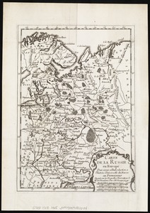
Carte de la Russie en Europe : pour servir al'Introduction a l'histoire universelle du Baron de Pufendorf
3.
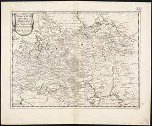
A new map of Russia or Moscovie divided into its Kingdoms, Dukedoms, Principalities, Provinces, &c
4.
Regni Sueciae tabula generalis, divisa in Sueciae, Gotiaeq[ue] regna Finniae ducatum Lapponiam, Livoniam Ingrianq[ue] et in...
5.
To his excellency the Count of Czernichew, Commander in Chief of her Majesty the Empress, of all the Russia's fleet and...
6.
To His Most Serene and August Majesty Peter Alexovitz absolute lord of Russia &c. this map of Moscovy, Poland, Little Tartary,...
7.
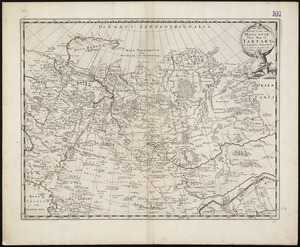
To the Great Czar of Moscovie this Map of Tartary &c. is humbly dedicated
8.
Chart containing the coasts of California, New Albion, and Russian discoveries to the north : with the peninsula of Kamchatka,...
9.
An accurate map of North America : describing and distinguishing the British, Spanish and French dominions on this great...
10.
An accurate map of North America : describing and distinguishing the British and Spanish dominions of this great continent;...
11.
America : with those known parts in that unknowne worlde both people and manner of buildings discribed and inlarged
12.
America septentrionalis
13.
America Septentrionalis
14.
America Septentrionalis : concinnata juxta observationes Dnn Academiae Regalis Scientiarum et nonnullorum aliorum, et juxta...
15.
America Septentrionalis a Domino d'Anville in Galliis edita nunc in Anglia : Coloniis in interiorem Virginiam deductis nec non...
16.
America Settentrionale : colle nuove scoperte fin alle' anno 1688 divisa nelle sue partu secondo lo stato presente
17.
America sive novvs orbis respectv Evropaeorvm inferior globi terrestris pars
18.
[Amerique septentrionale]
19.
Amérique Septentrionale
20.
Amérique Septentrionale
‹ Prev
Next ›
1
2
3
4
5
…
441
442

![Regni Sueciae tabula generalis, divisa in Sueciae, Gotiaeq[ue] regna Finniae ducatum Lapponiam, Livoniam Ingrianq[ue] et in omnes subiacentes provincias](https://bpldcassets.blob.core.windows.net/derivatives/images/commonwealth:cj82kt14t/image_thumbnail_300.jpg)


![[Amerique septentrionale]](https://bpldcassets.blob.core.windows.net/derivatives/images/commonwealth:8336h2955/image_thumbnail_300.jpg)

